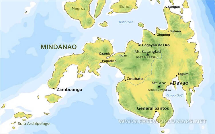
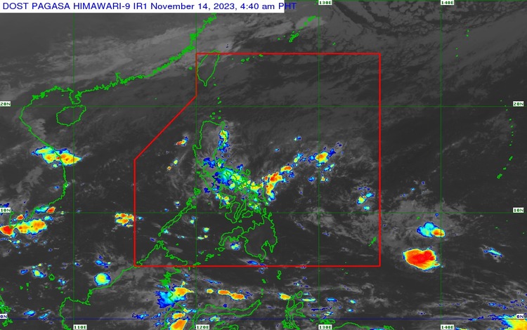
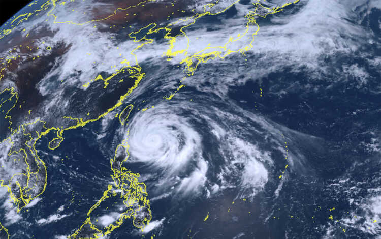
In the latest report from the Philippine Atmospheric, Geophysical, and Astronomical Services Administration (PAGASA), the typhoon being monitored outside the Philippine Area of Responsibility (PAR) appears to have weakened into a low-pressure area. It was last observed approximately 1,620 km east of southeastern Mindanao.
According to experts from PAGASA, there is a possibility that the mentioned typhoon will enter PAR tomorrow or on Thursday. In such a scenario, this typhoon may be named locally as “Kabayan” if it strengthens or enters PAR as a storm.
PAGASA is the primary agency providing early warnings about impending natural disasters. A low-pressure area, initially, may cause heavy rainfall and thunderstorms, but it can develop into a storm when it intensifies, eventually becoming a full-fledged tropical cyclone.
In situations like this, the preparedness and vigilance of residents regarding potential typhoon effects are crucial. Following PAGASA’s warnings is a step that can help ensure public safety. Additionally, collaboration with local government and having an emergency kit are essential for a prompt response to any needs during calamities.
The dissemination of information about the typhoon’s movement and its expected impacts plays a significant role in community preparedness. It allows for careful planning and execution of necessary steps to maintain the safety of everyone involved.
Led by PAGASA and other weather monitoring agencies, we hope that the sufficient knowledge and cooperation of the public will result in a smooth and secure response to any challenges posed by nature. Let us continue to follow updates from authorities to stay prepared and to sustain the care for our communities during times of crisis.
OK all goods