The Philippine Atmospheric, Geophysical, and Astronomical Services Administration (Pagasa) has announced that a low-pressure area (LPA) is likely to form or enter the Philippine area of responsibility by the end of this week. Pagasa weather specialist Rhea Torres indicated that this potential LPA may develop near extreme northern Luzon by Friday, September 27, or Saturday, September 28. However, she cautioned that the situation remains fluid, and changes are possible as the week progresses.
Torres stated, “Ngunit dahil may kalayuan po ang Friday and Saturday possible pa din po magbago ang pangyayari,” which translates to, “But because Friday and Saturday are still far away, this scenario may still possibly change.” This uncertainty highlights the dynamic nature of weather systems in the region.
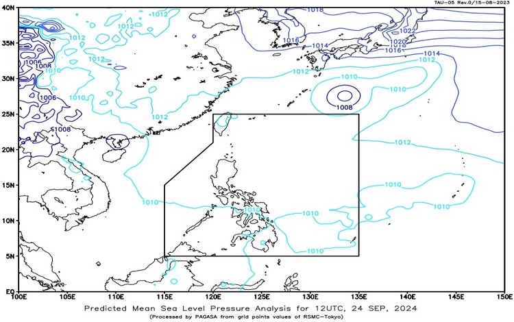
For today, the weather across the majority of the country is expected to remain fair. The prevailing weather pattern is influenced by the easterlies affecting the eastern sections of Southern Luzon, the Visayas, and Mindanao. This will lead to varying conditions across different areas.
Forecast Weather Conditions
- Mindanao, Eastern and Central Visayas: Cloudy skies with scattered rain showers and thunderstorms are expected, primarily due to the easterlies. The forecast indicates possible flash floods or landslides as a result of moderate to heavy rainfall.
- Bicol Region: Residents can expect partly cloudy to cloudy skies with isolated rain showers or thunderstorms. Similar to other regions, the threat of flash floods or landslides remains, particularly during severe thunderstorms.
- Metro Manila and the Rest of the Country: The capital and surrounding areas will likely experience partly cloudy to cloudy skies, accompanied by isolated rain showers or thunderstorms. Localized thunderstorms could lead to flash floods or landslides if conditions worsen.
Wind and Coastal Water Conditions
Across the entire archipelago, winds are forecasted to be light to moderate, blowing predominantly from the east to northeast. Coastal waters will generally be light to moderate, with wave heights ranging from 0.6 to 2.5 meters, making it relatively safe for maritime activities, but caution is advised.
Regional Outlook
In the Eastern and Central Visayas regions, the weather is expected to include partly cloudy to cloudy skies with the potential for isolated rain showers or thunderstorms, again influenced by the easterlies. Meanwhile, the rest of the Visayas, as well as Occidental Mindoro and Palawan—including Kalayaan Islands—will likely see similar conditions due to localized thunderstorms. The forecast indicates that these areas will also experience light to moderate winds from the east to northeast, accompanied by calm to moderate seas.
As the week progresses, residents are encouraged to stay informed through official updates from Pagasa, particularly regarding the potential development of the LPA and its implications for local weather conditions. Preparedness for possible flash floods and landslides should be a priority, especially in regions predicted to receive heavy rainfall.