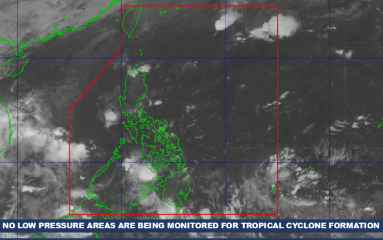
The nation is rolling into another operational weather cycle as the Philippine Atmospheric, Geophysical and Astronomical Services Administration (PAGASA) deployed its latest forecast for Tuesday, November 18, 2025. With a multi-system weather setup currently steering climate dynamics across the archipelago, stakeholders and local response units are encouraged to maintain situational awareness and execute readiness protocols as necessary.
The Intertropical Convergence Zone (ITCZ) remains a core disruptor in the atmospheric landscape, primarily affecting southern Mindanao. Meanwhile, the Northeast Monsoon continues to influence Extreme Northern Luzon, with easterly winds driving conditions across the rest of the country. While these patterns follow the traditional weather behaviors observed during this period annually, the integration of real-time advisories remains mission-critical.
Rain-Driven Risks in BARMM and SOCCSKSARGEN
BARMM and SOCCSKSARGEN will operate under cloudy skies with scattered rains and thunderstorms due to the ITCZ. The rainfall load may produce flash floods or landslides, especially in low-lying and sloped communities. Local disaster risk management teams may need to elevate contingency plans to mitigate service disruption and ensure resident safety.
Shear Line Impacts: Cagayan, Isabela, and Apayao
Parts of Northern Luzon — including Cagayan, Isabela, and Apayao — are projected to experience cloudy skies with scattered rains and isolated thunderstorms due to a shear line. While this is not unexpected for the season, the moderate to occasionally heavy rainfall means flash flood and landslide scenarios are still on the risk landscape, requiring ongoing monitoring from barangay response units and provincial authorities.
Easterlies Push Moisture Toward Bicol, Aurora, and Quezon
The Bicol Region, Aurora, and Quezon face cloudy skies with scattered rains and thunderstorms powered by easterlies. PAGASA notes the potential for flooding and landslides, which could impact mobility, agriculture, and localized supply chains.
Northeast Monsoon Brings Cooler, Stable Conditions
Batanes and Ilocos Norte will experience partly cloudy to cloudy skies with isolated light rains. PAGASA clarifies that rainfall in those areas poses no significant impact, aligning with historical monsoon outcomes in these provinces.
Metro Manila and the Rest of the Country
Metro Manila and other regions across the nation will observe partly cloudy to cloudy skies with isolated rain showers or thunderstorms due to the easterlies. Severe thunderstorms may produce short-term flooding, prompting commuters to plan mobility routes proactively.
Wind and Sea Conditions
| Area | Wind Speed | Direction | Coastal Waters |
|---|---|---|---|
| Northern & Western Northern Luzon | Moderate to Strong | Northeast | Moderate to Rough (1.5 to 4.0m) |
| Rest of the Country | Light to Moderate | East to Northeast | Slight to Moderate (0.6 to 2.5m) |
Yesterday’s Temperature Extremes
- Minimum: 24.6°C at 7:30 AM
- Maximum: 31.7°C at 2:00 PM