The Philippine Atmospheric, Geophysical and Astronomical Services Administration (PAGASA) released its weather forecast for Tuesday, February 3, 2026, highlighting the continued influence of the Shear Line and the Northeast Monsoon over several parts of the country.
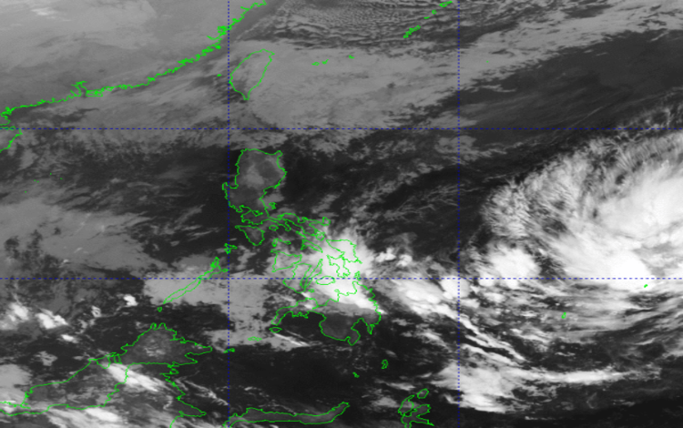
In its 2:00 AM bulletin, PAGASA reported that the Shear Line is affecting the eastern sections of the Visayas and Mindanao, while the Northeast Monsoon, locally known as Amihan, continues to influence Luzon. Meanwhile, a Low Pressure Area (LPA 02a) being monitored outside the Philippine Area of Responsibility (PAR) has a high chance of developing into a tropical depression within the next 24 hours. Although it remains outside PAR, PAGASA advised the public to stay alert for possible updates should the system move closer.
For the Visayas, Caraga, Davao Region, and Misamis Oriental, cloudy skies with scattered rains and isolated thunderstorms are expected due to the Shear Line. PAGASA warned that moderate to occasionally heavy rains in these areas may trigger flash floods or landslides, especially in low-lying and mountainous communities.
Batanes and the Babuyan Islands will experience cloudy skies with light rains brought by the Northeast Monsoon. PAGASA noted that no significant weather impacts are expected in these areas, though residents may still feel cooler temperatures due to the amihan.
The rest of Mindanao will have partly cloudy to cloudy skies with isolated rainshowers or thunderstorms caused by localized thunderstorms. PAGASA cautioned that severe thunderstorms could still lead to flash floods or landslides in vulnerable locations.
Metro Manila and the rest of Luzon are forecast to experience partly cloudy to cloudy skies with isolated light rains, also due to the Northeast Monsoon. No significant impact is expected, but commuters are advised to remain cautious during early morning and evening hours.
In terms of wind and coastal water conditions, Northern Luzon will have moderate to strong winds blowing from the northeast, resulting in moderate to rough coastal waters ranging from 2.1 to 4.0 meters. The eastern sections of Central and Southern Luzon, as well as parts of the Visayas and Mindanao, will also experience moderate to strong northeast winds with sea conditions reaching 2.1 to 3.4 meters.
For the rest of the country, winds will be light to moderate from the northeast to north, with coastal waters ranging from slight to moderate at 0.6 to 2.5 meters. PAGASA advised small sea vessels and fisherfolk to exercise caution, particularly in areas with rough seas.