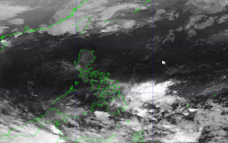
The Philippine Atmospheric, Geophysical, and Astronomical Services Administration (PAGASA) released its weather forecast for March 3, 2026, highlighting the continued influence of the Northeast Monsoon over Extreme Northern Luzon and the prevailing Easterlies affecting the rest of the country.
According to PAGASA’s 2:00 AM advisory, the Northeast Monsoon is currently impacting Batanes and the Babuyan Islands. Residents in these areas can expect partly cloudy to cloudy skies with isolated light rains throughout the day. While occasional showers may occur, no significant impacts are anticipated. However, locals are still advised to remain cautious, especially in coastal communities where winds may be stronger at times.
Meanwhile, Metro Manila and the rest of the country will experience weather conditions brought about by the Easterlies. These warm winds coming from the Pacific are expected to bring partly cloudy to cloudy skies with isolated rainshowers or thunderstorms. Although much of the day may remain fair, sudden thunderstorms could develop, particularly in the afternoon or evening.
PAGASA warns that severe thunderstorms may trigger possible flash floods or landslides, especially in low-lying and mountainous areas. Residents are encouraged to monitor weather updates and take precautionary measures when heavy rains occur. Motorists should also exercise extra caution during downpours due to reduced visibility and slippery road conditions.
In terms of wind and coastal water conditions, Extreme Northern Luzon will experience moderate to strong winds blowing from the north to northeast. Coastal waters in these areas are expected to be moderate to rough, with wave heights ranging from 1.2 to 3.5 meters. Small sea vessels are advised to take precautionary measures, and inexperienced mariners may consider postponing sea travel.
For the rest of Luzon, winds will be light to moderate coming from the east to northeast, with coastal waters ranging from slight to moderate (0.6 to 2.5 meters). Similar wind and sea conditions are expected over the Visayas and Mindanao, where light to moderate winds from the northeast to north will prevail.
As of 2:00 AM today, PAGASA reports that no Low Pressure Areas are being monitored for possible tropical cyclone formation. Nonetheless, the public is advised to stay updated through official bulletins as weather conditions may change.