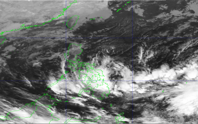
The Philippine Atmospheric, Geophysical and Astronomical Services Administration (PAGASA) reported that the Northeast Monsoon, locally known as “Amihan,” continues to affect Luzon, while a trough of a Low Pressure Area (LPA) is influencing the weather conditions over parts of the Visayas and Mindanao.
As of 2:00 AM today, March 9, 2026, PAGASA is monitoring a Low Pressure Area located outside the Philippine Area of Responsibility (PAR). Although it is still outside the country’s monitoring boundary, the weather disturbance currently has a medium chance of developing into a tropical depression within the next 24 hours. PAGASA continues to monitor its movement and development closely to determine any potential impact on the country.
Cloudy skies with scattered rains and thunderstorms are expected across the Visayas, Mindanao, and the provinces of Sorsogon and Masbate. These weather conditions are being caused by the trough of the LPA. Residents in these areas are advised to remain alert as moderate to occasionally heavy rainfall may trigger flash floods or landslides, especially in flood-prone and mountainous locations.
Meanwhile, Cagayan Valley, Aurora, Quezon, and the rest of the Bicol Region will experience cloudy skies with periods of rain due to the Northeast Monsoon. Similar to the southern parts of the country, moderate to at times heavy rainfall may occur, which could lead to localized flooding or landslides.
The Cordillera Administrative Region, along with Oriental Mindoro, Marinduque, and Romblon, will likely experience cloudy skies with light rains caused by the Northeast Monsoon. However, PAGASA noted that no significant weather impacts are expected in these areas.
Metro Manila and the rest of Luzon can expect partly cloudy to cloudy skies with isolated light rains. These conditions are also associated with the Northeast Monsoon and are not expected to cause major disruptions.
In terms of wind and coastal water conditions, the eastern sections of Southern Luzon and Visayas will experience strong northeast winds with rough coastal waters ranging from 2.8 to 4.0 meters. Northern Luzon and the eastern part of Central Luzon will have moderate to strong northeast winds with coastal waters ranging from moderate to rough conditions, with wave heights between 2.1 and 4.0 meters.
The rest of the country will experience light to moderate winds coming from the northeast to north, with coastal waters ranging from slight to moderate conditions, with wave heights between 0.6 and 2.5 meters.
For the past 24-hour period ending at 8:00 PM yesterday, the recorded minimum temperature was 21.8°C at 5:00 AM, while the maximum temperature reached 29.7°C at 2:00 PM. Relative humidity ranged from a low of 59% at 1:00 PM to a high of 93% at 5:00 AM.