The Philippine Atmospheric, Geophysical, and Astronomical Services Administration (Pagasa) reports that the northeast monsoon continues to influence weather patterns over Luzon and Visayas today, March 12, 2026. Meanwhile, a trough associated with Tropical Storm Nuri (2603) is affecting the eastern section of Mindanao, bringing localized heavy rains and thunderstorms in certain areas.
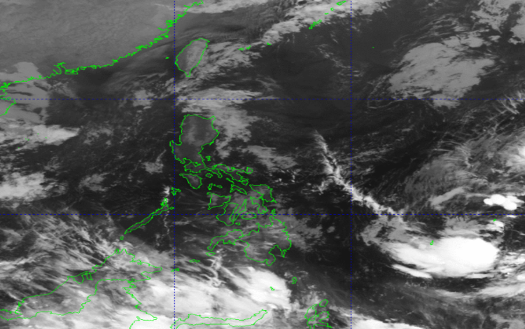
As of 3:00 AM today, Tropical Storm Nuri is located approximately 1,415 kilometers east of Eastern Visayas at coordinates 11.0°N, 138.7°E. The storm carries maximum sustained winds of 65 km/h near its center, with gusts reaching up to 80 km/h. Nuri is moving east-northeastward at a speed of 10 km/h and is not currently expected to make landfall in the country, though its associated trough continues to impact eastern Mindanao.
Weather conditions across the archipelago vary depending on location. Residents in the Dinagat Islands and Surigao del Norte can expect cloudy skies with scattered rains and thunderstorms due to the tropical storm trough. Authorities have warned of possible flash floods and landslides in areas experiencing moderate to, at times, heavy rainfall.
In the northernmost provinces, including Batanes and the Babuyan Islands, the northeast monsoon brings cloudy skies with persistent rain, also posing a risk for flash floods and landslides. Meanwhile, much of Cagayan Valley, Aurora, Apayao, and Kalinga will see cloudy skies with light rains, though no significant impacts are anticipated.
Eastern sections of Mindanao, as well as Eastern Samar, Leyte, and Southern Leyte, may experience partly cloudy to cloudy skies with isolated rain showers or thunderstorms caused by localized weather disturbances. Residents in these areas are advised to remain alert for sudden flooding or landslides during periods of heavy rain. Metro Manila and other parts of the country will generally experience partly cloudy to cloudy skies with isolated light rains under the influence of the northeast monsoon, with minimal risk to daily activities.
Wind conditions are moderate to strong across northern and eastern Luzon and the eastern Visayas and Mindanao, with coastal waters ranging from moderate to rough, reaching heights of up to 3.8 meters. Elsewhere, winds are lighter, and coastal waters are slight to moderate.
Temperature readings for the past 24 hours ranged from a minimum of 20.2°C at 5:00 AM to a maximum of 30.6°C at 2:00 PM, while relative humidity fluctuated between 46% and 85%.
Pagasa has issued general flood advisories for Region 11 (Davao Region), Region 12 (SOCCSKSARGEN), Region 13 (CARAGA), and BARMM, urging local communities to remain vigilant against potential flooding and landslide risks.