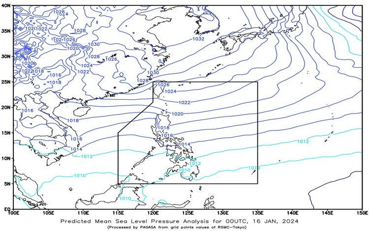
As of 4:00 AM on January 16, 2024, the weather outlook for the Philippines reveals a dynamic interplay of meteorological phenomena. The key contributors are a shear line affecting the northern and eastern sections of Mindanao and the persistent Northeast Monsoon affecting Luzon and Visayas.
Northern Mindanao, Caraga, and Davao Region: Cloudy skies with scattered rain showers and thunderstorms are expected in this region due to the influence of the shear line. These weather conditions may lead to possible flash floods or landslides, particularly in areas experiencing moderate to heavy rains.
Cordillera Administrative Region, Cagayan Valley, Aurora, Quezon, and Bicol Region: Under the influence of the Northeast Monsoon, these areas will experience cloudy skies with light rains. Fortunately, the impact is expected to be minimal, with no significant disruptions anticipated.
Metro Manila, the rest of Luzon, and the rest of Visayas: Partly cloudy to cloudy skies with isolated light rains are forecasted in these areas due to the Northeast Monsoon. The weather impact is predicted to be negligible, with no significant disruptions expected.
The rest of Mindanao: Partly cloudy to cloudy skies with isolated rain showers or thunderstorms are anticipated. The combination of the shear line and localized thunderstorms may lead to flash floods or landslides during severe weather conditions.
Forecast Wind and Coastal Water Conditions:
- Northern Luzon and the eastern section of the rest of the country: Strong winds from the northeast are expected, accompanied by rough coastal waters ranging from 2.8 to 4.0 meters.
- The rest of the country: Moderate to strong winds from the northeast will prevail, along with moderate to rough coastal waters ranging from 1.2 to 3.7 meters.
Visayas, Palawan, including Kalayaan Islands, and Occidental Mindoro: Partly cloudy to cloudy skies with isolated light rains are expected due to the Northeast Monsoon. Moderate to strong winds from the northeast will prevail in these areas, leading to moderate to rough seas.

Localized Weather in Bicol, Northern Samar, Oriental Mindoro, Marinduque, and Romblon: These areas will experience slightly cloudy to mostly cloudy skies with sporadic light rains. Moderate to strong winds from the northeast will be prevalent, leading to moderate to rough seas.
Residents and authorities in affected regions are advised to stay vigilant and take necessary precautions, especially in areas prone to flash floods and landslides during heavy rains. Boaters and fisherfolk are urged to exercise caution due to the expected rough seas. Stay tuned for further updates as weather conditions may evolve throughout the day.