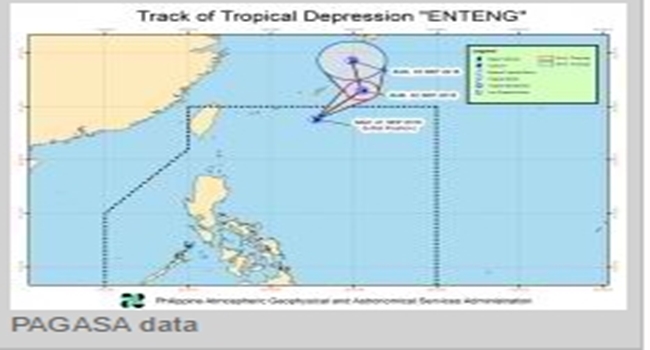
September starts with Bagyo Enteng entering the Philippine Area of Responsibility.
Bagyo Enteng is officially inside the Philippine Area of Responsibility (PAR) to start the -ber months with a windy atmosphere.
According to the latest weather bulletin issued by the Philippine Atmospheric, Geophysical and Astronomical Services Administration (PAG-ASA), Bagyo Enteng has intensified into a tropical storm as it continues to move in Northeast direction.

According to PAG-ASA, the Low Pressure Area (LPA) that they have been monitoring has become a tropical depression at 9AM of September 1, Thursday, and named it Bagyo Enteng.
Enteng is the fifth storm to hit the Philippines in the first nine months of the year.
Bagyo Enteng’s center was last seen based on PAG-ASA’s available data at 695 km East Northeast of Itbayat Batanes.
At 11AM, the center of the tropical storm was estimated based on all available data at 730 km Northeast of Itbayat, Batanes.
The storm carries a wind strength of 55 kph while it moves towards Northeast at 18 kph speed.
According to PAG-ASA, the estimated rainfall amount is from moderate to heavy within the 250km diameter of the tropical storm.
Also, the Southwest monsoon enhanced the Tropical Storm Enteng and is expected to bring moderate to occasionally heavy rains over Pangasinan, La Union and Benguet which may trigger flashfloods and landslides.
But just like its namesake storm, Bagyo Enteng which hit last 2012, the present storm is a “hello and goodbye”.
On September 2, Friday, Bagyo Enteng is expected to leave the PAR but can still bring torrential rains in Ilocos and Cagayan Valley.
On Saturday morning, the tropical storm is expected to be at 1,275 km Northeast of Itbayat, Batanes, already outside PAR.
On Sunday morning, it is expected to be at 1,415 km North Northeast of Itbayat, Batanes.
According to PAG-ASA, the public and the disaster risk reduction and management councils concerned are advised to take appropriate actions and watch for the next weather bulletin to be issued at 11Pm today.
