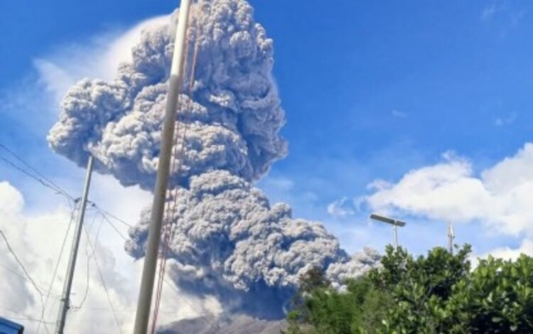
As the Philippine Atmospheric, Geophysical, and Astronomical Services Administration (PAGASA) forecasts heavy rainfall across the Visayas region, concerns about lahar flow from Kanlaon Volcano in Negros Occidental have been heightened. Authorities are urging residents to remain vigilant as the potential hazards from volcanic debris flows and landslides loom.

Raul Fernandez, Director of the Office of Civil Defense Western Visayas and head of the Regional Task Force Kanlaon, has underscored the importance of preparedness. “Your safety is our top priority,” Fernandez said. “We must remain vigilant and prepared as we face the challenges posed by these weather conditions.”
Weather Outlook
A Low-Pressure Area (LPA) has been spotted approximately 155 kilometers east-southeast of Tagum City, Davao del Norte. PAGASA reports that this system has a high probability of intensifying into Tropical Depression Querubin, which would be the first named storm for December. Embedded within the Intertropical Convergence Zone, this weather disturbance is anticipated to bring significant rainfall and thunderstorms.
The increased rainfall heightens the likelihood of flash floods, landslides, and lahar flows in areas surrounding Kanlaon Volcano. Kanlaon’s slopes are known for accumulating volcanic debris, which can mix with rainwater to form fast-moving and highly destructive lahar flows.
Areas at Risk
Negros Occidental is home to several cities and municipalities identified as high-risk zones for lahar and related volcanic hazards. The affected areas include:
- Bago City
- La Carlota City
- Pontevedra
- Pulupandan
- San Enrique
- Valladolid
- Binalbagan
- Himamaylan City
- Hinigaran
- Isabela
- La Castellana
- Moises Padilla (Magallon)
In total, 162 barangays within these 13 municipalities are considered vulnerable, placing approximately 644,487 residents in potential danger, according to the 2020 census.
A newly updated hazard map released by local authorities highlights specific areas at risk of lahar flow. The map serves as a crucial tool for both residents and emergency response teams to identify high-risk zones and plan accordingly.
Safety Measures and Preparedness
To mitigate the potential impacts of the impending weather, authorities are emphasizing the need for residents to adopt proactive safety measures. Raul Fernandez outlined the following key steps:
- Stay Informed: Regularly monitor updates from PAGASA and announcements from local government units (LGUs). Timely information is essential to responding effectively to sudden changes in weather conditions.
- Know Evacuation Centers: Familiarize yourself with the nearest evacuation centers. Authorities advise residents in high-risk areas to be prepared to evacuate promptly if necessary.
- Avoid Hazardous Areas: Refrain from entering river channels, streams, or any locations identified as lahar-prone. These areas are particularly dangerous during heavy rainfall.
- Emergency Kits: Prepare essential supplies, including food, water, medications, and flashlights, in case of sudden evacuation orders.
Coordinated Response
Local government units and emergency services have been placed on high alert. The Regional Task Force Kanlaon is coordinating closely with PAGASA and disaster response teams to ensure the timely dissemination of information and the swift execution of evacuation plans if required.
With the forecasted weather conditions, the safety of residents remains a priority. Authorities continue to stress that community cooperation is vital in reducing the risk of casualties and damage.
As Tropical Depression Querubin potentially intensifies, the public is reminded to exercise caution and heed all warnings to protect lives and property. The coming days will be critical in determining the extent of the impacts on Negros Occidental and surrounding areas.
