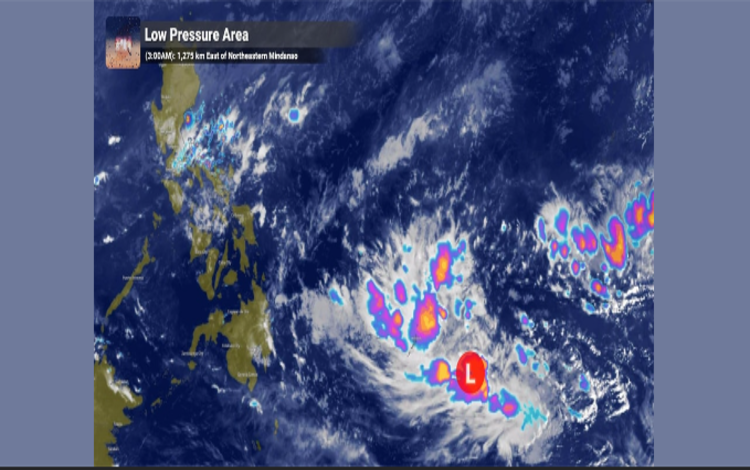
In the latest statement from the Department of Science and Technology – Philippine Atmospheric, Geophysical and Astronomical Services Administration (DOST-PAGASA), they are closely monitoring a Low-Pressure Area (LPA) formerly known as a Tropical Depression. Currently, it is located approximately 1,275 kilometers east of Northeastern Mindanao.

The agency is keeping a watchful eye on the potential entry of this weather disturbance into the Philippine Area of Responsibility (PAR) in the coming days. Its entry into the PAR will open the door for thorough examination and monitoring by local authorities and government agencies.
Although the chances are low for it to intensify into a storm at the moment, the possibility is not completely ruled out. Public preparedness is crucial to avoid any potential impact. It is also important not to disregard the possibility of it developing into a storm in the coming days, hence the importance of regular updates from official agencies like PAGASA.

As of the past few hours, it has not directly affected the country, but it is important to remember that weather conditions can change suddenly. A reminder to the public to be prepared for any eventuality and to follow the directives given by local government and disaster risk reduction and management councils.
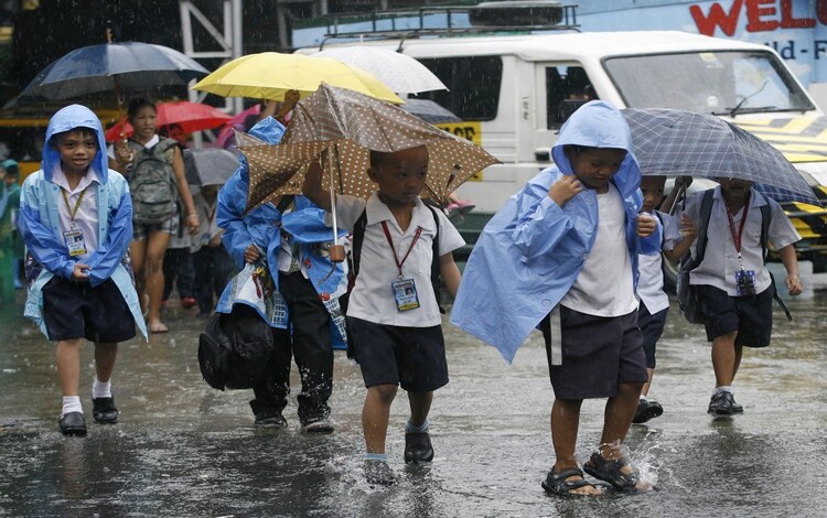
PAGASA is focusing on the possibility that the LPA may bring rain and thunderstorms, particularly in Eastern Visayas over the upcoming weekend. This could lead to flooding and other issues in areas it may affect. Coordination between local officials, government agencies, and residents is crucial to maintaining the safety of everyone.

In general, public preparedness and cooperation are crucial during such situations. Through proper information and coordination, we can mitigate the potential damages caused by natural disasters. Let’s continue to be vigilant and ready for any changes in weather conditions.
