A Low-Pressure Area (LPA) outside the Philippine Area of Responsibility (PAR) is likely to intensify into a tropical depression in the next 36 hours or possibly even by tomorrow, according to a statement from the State Weather Bureau last Sunday.

The disturbance was located 1,605 kilometers east of Northeastern Mindanao, according to the Philippine Atmospheric, Geophysical, and Astronomical Services Administration (PAGASA).
Based on PAGASA’s forecast analysis, the LPA is expected to slowly move westwards over the next few days and may enter the PAR by Wednesday night.
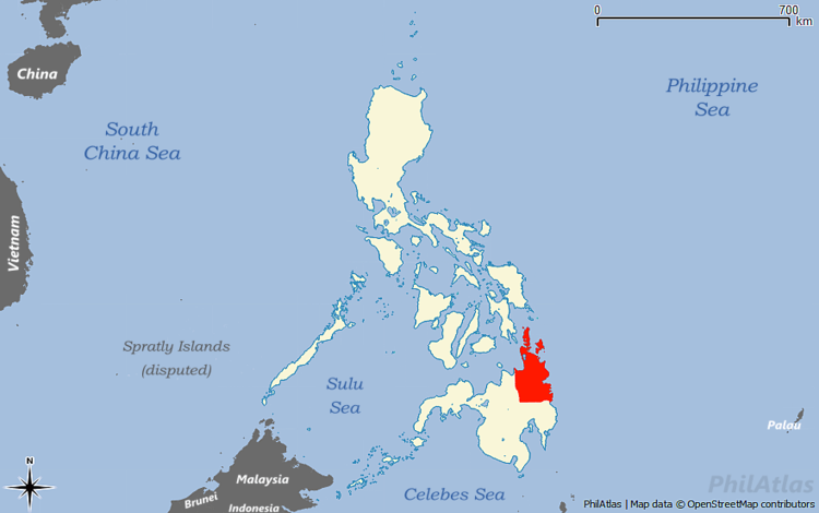
By Thursday, it is anticipated to move east of Caraga or Eastern Visayas.
However, the LPA currently has no direct impact on the weather across the country, according to PAGASA.
Such situations raise concerns among residents, especially in areas that may be affected by the storm. Therefore, proper preparation and the provision of adequate information from authorities are crucial.
As this storm enters the PAR, it may bring heavy rain and strong winds, potentially resulting in flooding and landslides. Hence, issuing warnings and regular updates from local governments and safety agencies are essential.
Furthermore, this serves as a reminder that monitoring PAGASA updates is crucial for everyone’s safety. Proper preparation and collaboration between the government and the citizens are important to ensure the safety and readiness of each individual against calamities. In times of such events, being prepared and united is key to facing any challenges posed by nature.