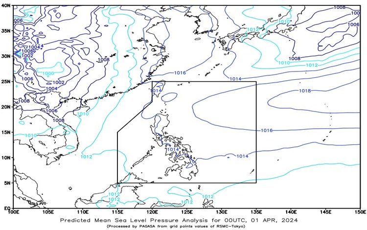
April 1, 2024, a Ridge of High-Pressure Area (HPA) extends over the eastern sections of Northern and Central Luzon, influencing the weather conditions across the Philippines.
Forecast for Metro Manila and the Rest of the Country: Partly cloudy to cloudy skies are expected with isolated rain showers or thunderstorms, primarily caused by localized thunderstorms. These conditions may lead to possible flash floods or landslides during severe thunderstorms.
Forecast Wind and Coastal Water Conditions: For Luzon, including Metro Manila, expect light to moderate winds blowing from the east to southeast direction. Coastal waters will be slight to moderate, with wave heights ranging from 1.2 to 2.1 meters. In the rest of the country, winds will also be light to moderate, but from the east to northeast direction. Coastal waters will be slight to moderate as well, with wave heights between 0.6 to 2.1 meters.
Forecast for Specific Regions:
- Bicol Region, Northern Samar, Oriental Mindoro, Marinduque, and Romblon: Partly cloudy to cloudy skies with isolated rain showers or thunderstorms are expected. Light to moderate winds blowing from the east to southeast will prevail, with slight to moderate seas.
- Visayas, Palawan including Kalayaan Islands, and Occidental Mindoro: Similar weather conditions of partly cloudy to cloudy skies with isolated rain showers and/or thunderstorms are anticipated, attributed to localized thunderstorms. Winds will be light to moderate, coming from the east to northeast direction, with slight to moderate seas.
The Philippines can anticipate varied weather conditions across different regions, ranging from partly cloudy to cloudy skies with isolated rain showers or thunderstorms. Residents and travelers should stay updated with local weather advisories and take necessary precautions, especially during severe weather occurrences to ensure safety and minimize risks of any potential hazards.