The Philippine Atmospheric, Geophysical and Astronomical Services Administration (Pagasa) released its 3:00 p.m. weather bulletin on Monday, September 15, 2025, reporting that a Low Pressure Area (LPA) continues to linger inside the Philippine Area of Responsibility (PAR).
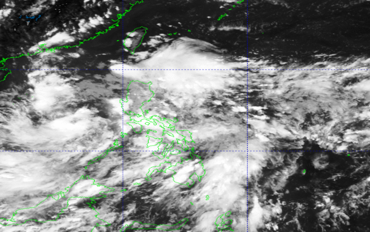
As of 3:00 p.m., the weather disturbance, locally tagged as LPA 09c, was spotted about 475 kilometers west of San Jose, Occidental Mindoro (12.9°N, 116.7°E). Despite its proximity, Pagasa said the system remains weak and has an “unlikely” chance of developing into a tropical depression within the next 24 hours.
Rainy Conditions in Several Regions
The trough or extension of the LPA will bring cloudy skies with scattered rain showers and thunderstorms over Metro Manila, Central Luzon, CALABARZON, MIMAROPA, the Bicol Region, and Western Visayas. Pagasa cautioned that these rains may intensify at times, increasing the risk of flash floods and landslides, especially in low-lying and mountainous areas.
Meanwhile, the Cagayan Valley is expected to experience cloudy skies with scattered rains due to the easterlies, which may also lead to localized flooding.
In the Ilocos Region and the Cordillera Administrative Region (CAR), partly cloudy to cloudy skies with isolated rain showers or thunderstorms are anticipated, also caused by the easterlies. Similar conditions will be experienced in the rest of the country, although localized thunderstorms are the main factor there. Severe thunderstorms could still trigger flash floods or landslides.
Wind and Coastal Conditions
For Extreme Northern Luzon, moderate winds from the east are expected, accompanied by moderate seas with wave heights ranging from 1.2 to 2.1 meters.
In Central Luzon and the rest of Northern Luzon, winds will be light to moderate, blowing from northeast to southeast, with coastal waters ranging from slight to moderate (0.6 to 1.5 meters).
The rest of the country will have light to moderate winds coming from southwest to southeast, resulting in slight to moderate sea conditions (0.6 to 1.2 meters).
Pagasa urged the public to remain alert for sudden heavy downpours that could cause flooding, as well as landslides in areas with saturated soil. Fisherfolk and small seacraft operators are also advised to monitor updates and take caution when venturing into the seas.