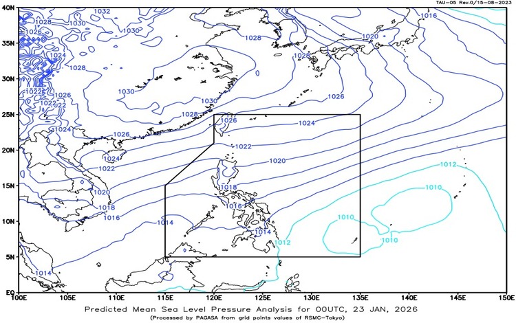
The Philippine Atmospheric, Geophysical and Astronomical Services Administration (PAGASA) released its weather forecast for January 23, 2026, highlighting the continued influence of the Northeast Monsoon, locally known as Amihan, across the country. As of 3:00 AM today, a Low Pressure Area (LPA), formerly Tropical Depression “ADA,” was estimated at 765 kilometers east of Hinatuan, Surigao del Sur (8.4°N, 133.3°E). While the system remains far from land, it is being monitored as it contributes to prevailing weather conditions, particularly over eastern sections of the Philippines.
Under the influence of the Northeast Monsoon, several areas are expected to experience cloudy skies with light rains. These include Cagayan Valley, the Bicol Region, Eastern Visayas, Caraga, Northern Mindanao, and the Davao Region, as well as Apayao, Ifugao, Kalinga, Mountain Province, Aurora, Quezon, and Oriental Mindoro. PAGASA noted that rainfall associated with the monsoon in these areas is generally light and poses no significant threat. Residents may still experience cooler temperatures and overcast conditions, especially during the early morning and evening hours.
Metro Manila and the rest of the country will have partly cloudy to cloudy skies with isolated light rains, also due to the Northeast Monsoon. No major weather-related impacts are expected in these areas, making conditions generally favorable for daily activities. However, PAGASA advises the public to remain cautious, particularly during sudden rain showers and cooler weather.
Meanwhile, PAGASA emphasized the importance of monitoring wind and coastal water conditions, especially for those engaged in maritime activities. The eastern sections of Southern Luzon, the Visayas, and Mindanao will experience strong to gale-force winds coming from the northeast to north. Coastal waters in these areas are expected to be rough to very rough, with wave heights ranging from 2.8 to 4.5 meters, making sea travel risky for small vessels.
Northern Luzon and the eastern section of Central Luzon will see moderate to strong winds from the northeast, with moderate to rough seas measuring 2.5 to 3.7 meters. The rest of the country will also experience moderate to strong winds and moderate to rough coastal waters, with waves between 1.2 and 2.8 meters.
PAGASA continues to advise fisherfolk and operators of small seacraft to exercise caution or avoid venturing out to sea, particularly in areas experiencing rough to very rough conditions. The public is encouraged to stay updated through official PAGASA advisories for any changes in the weather situation.