The Philippine Atmospheric, Geophysical, and Astronomical Services Administration (PAGASA) has released its weather forecast for Friday, January 30, 2026, highlighting the combined effects of the Shear Line and the Northeast Monsoon, or Amihan, across various parts of the country. While no tropical cyclone is being monitored, some areas are still advised to remain alert due to possible rain-related hazards.
According to PAGASA, the Shear Line continues to affect the eastern section of Mindanao, bringing unstable weather conditions. Cloudy skies with scattered rains and isolated thunderstorms are expected over Caraga, Eastern Samar, Leyte, Southern Leyte, and Davao Oriental. These rains may become moderate to occasionally heavy, raising the risk of flash floods and landslides, particularly in low-lying and mountainous areas. Residents in these regions are advised to take precautionary measures and stay updated with local advisories.
Meanwhile, the Northeast Monsoon is influencing Luzon and parts of the Visayas. Cloudy skies with light rains are forecast over Cagayan Valley, Apayao, Kalinga, Mountain Province, Ifugao, and Aurora. While rainfall in these areas is generally light and not expected to cause significant impacts, cooler temperatures may still be felt, especially during the early morning and evening hours.
For the rest of Mindanao and the remaining areas of Eastern Visayas, partly cloudy to cloudy skies with isolated rainshowers or thunderstorms are expected. These weather conditions are attributed to localized thunderstorms, which may still trigger brief but intense rainfall. PAGASA warns that severe thunderstorms could lead to flash floods or landslides in vulnerable areas.
Metro Manila and the rest of the country will experience partly cloudy to cloudy skies with isolated light rains due to the Northeast Monsoon. No significant weather-related impacts are anticipated in these areas, although occasional drizzles may occur.
In terms of wind and coastal water conditions, moderate to strong winds from the northeast to north will prevail over the eastern sections of Southern Luzon, Visayas, and Mindanao, resulting in moderate to rough seas with wave heights ranging from 1.8 to 3.4 meters. Northern and Central Luzon will also experience moderate to strong winds and moderate to rough coastal waters. Elsewhere in the country, winds will be light to moderate with generally slight to moderate seas.
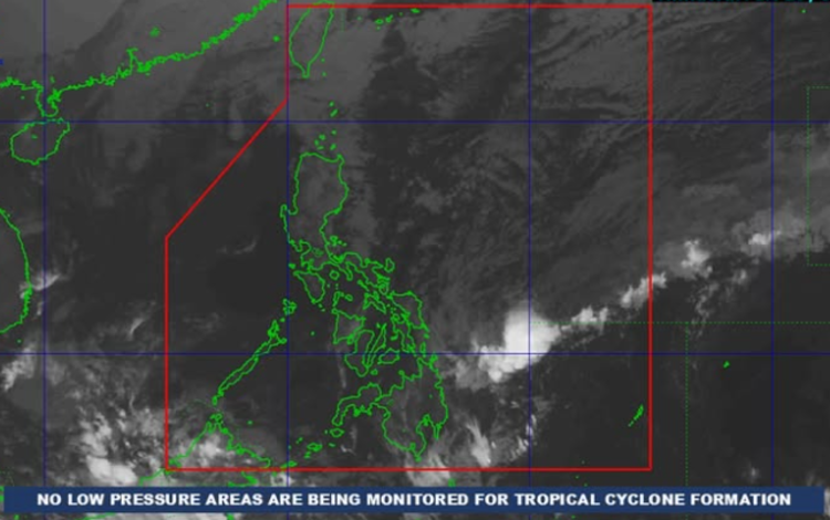
As of 2:00 a.m. on January 30, 2026, PAGASA reported that no Low Pressure Area is being monitored for possible tropical cyclone formation. Nonetheless, the public is encouraged to remain vigilant and regularly monitor official weather updates.