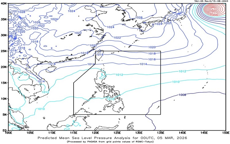
The Philippine Atmospheric, Geophysical and Astronomical Services Administration (PAGASA) released its weather forecast for March 5, 2026, highlighting the influence of two prevailing weather systems across the country. The Northeast Monsoon continues to affect Extreme Northern Luzon, while the Easterlies are bringing moist and warm air over the rest of the Philippines.
In Mindanao, particularly in Surigao del Sur, Davao de Oro, and Davao Oriental, cloudy skies with scattered rains and thunderstorms are expected due to the Easterlies. Moderate to at times heavy rainfall may occur, raising the possibility of flash floods or landslides in low-lying and mountainous areas. Residents are advised to remain alert, especially during periods of intense thunderstorms.
Meanwhile, Batanes, Cagayan, and Apayao will experience cloudy skies with light rains brought by the Northeast Monsoon. These areas are not expected to face significant impacts, but cooler temperatures and occasional drizzles may persist throughout the day. Ilocos Norte will have partly cloudy to cloudy skies with isolated light rains, also due to the monsoon, with no major weather disturbances anticipated.
Metro Manila and the rest of the country can expect partly cloudy to cloudy skies with isolated rainshowers or thunderstorms caused by the Easterlies. While much of the day may remain generally fair, severe thunderstorms could trigger localized flash floods or landslides. The public is encouraged to monitor weather updates and take precautions when outdoor activities are planned.
For coastal conditions, Northern Luzon will experience moderate to strong winds coming from the northeast to east, resulting in moderate to rough seas with wave heights ranging from 1.5 to 3.1 meters. Mariners, especially those operating small sea vessels, are advised to exercise caution. In the rest of the country, winds will be light to moderate from the northeast, with slight to moderate coastal waters and wave heights between 0.6 and 2.5 meters.
Temperature readings over the past 24 hours recorded a minimum of 21.0°C at 5:30 AM and a maximum of 32.4°C at 2:00 PM. Relative humidity ranged from a low of 49 percent in the afternoon to a high of 90 percent in the early morning.
As of 2:00 AM today, PAGASA reported that no Low Pressure Areas are being monitored for tropical cyclone formation. However, a General Flood Advisory remains in effect for Region XIII (Caraga), urging vigilance amid continuing rains.