The latest PAGASA weather forecast for March 8, 2026, indicates that the Northeast Monsoon, locally known as Amihan, continues to affect Northern and Central Luzon, while Easterlies are influencing weather conditions across the rest of the Philippines. Residents in several areas should prepare for cloudy skies, scattered rains, and possible thunderstorms throughout the day.
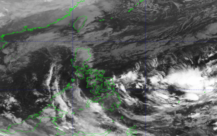
As of 2:00 AM today, the Philippine Atmospheric, Geophysical and Astronomical Services Administration (PAGASA) is monitoring a Low Pressure Area (LPA) located outside the Philippine Area of Responsibility (PAR). According to PAGASA, the weather disturbance currently has a low chance of developing into a tropical depression within the next 24 hours. Despite this, weather systems already affecting the country may still bring rainfall in multiple regions.
In Northern Luzon, particularly in Cagayan Valley, Ilocos Norte, Apayao, Kalinga, and Aurora, cloudy skies with moderate to at times heavy rains are expected due to the Northeast Monsoon. These conditions may trigger flash floods or landslides, especially in low-lying communities and mountainous areas. Residents are advised to remain alert and monitor updates from local authorities.
Meanwhile, Eastern Visayas, Surigao del Norte, and Dinagat Islands will experience cloudy skies with scattered rains and thunderstorms caused by Easterlies. Similar to Northern Luzon, these areas may also experience flash floods or landslides during periods of heavier rainfall.
In Quezon, Oriental Mindoro, Marinduque, and the rest of the Cordillera Administrative Region, cloudy skies with light rains are expected due to the Northeast Monsoon. However, PAGASA noted that these conditions are unlikely to cause significant impacts.
Metro Manila, the Ilocos Region, Occidental Mindoro, the rest of Central Luzon, and the remaining parts of CALABARZON may see partly cloudy to cloudy skies with isolated light rains. These weather conditions are still influenced by the Northeast Monsoon but are not expected to cause major disruptions.
For the rest of the country, partly cloudy to cloudy skies with isolated rain showers or thunderstorms are expected due to the Easterlies. PAGASA warns that severe thunderstorms may still cause localized flash floods or landslides in vulnerable areas.
Regarding wind and coastal conditions, Northern Luzon and the eastern sections of Central and Southern Luzon will experience moderate to strong winds from the northeast. Coastal waters in these areas may become moderate to rough, with wave heights ranging from 2.1 to 4.0 meters. Meanwhile, the rest of the country will have light to moderate winds with slight to moderate seas.
Temperature recorded in the past 24 hours ranged from a minimum of 24.2°C at 5:00 AM to a maximum of 31.0°C at 1:00 PM. Relative humidity ranged between 53% and 86%. Residents are encouraged to stay updated with the latest PAGASA advisories for any changes in weather conditions.