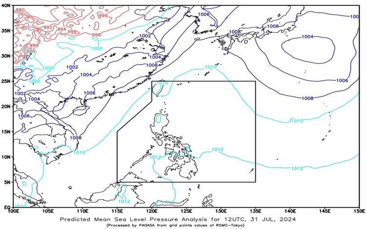
SYNOPSIS: The Southwest Monsoon continues to affect the western section of Extreme Northern Luzon.
Forecast Weather Conditions:
Batanes and Babuyan Islands:
- Weather Condition: Partly cloudy to cloudy skies with isolated rain showers or thunderstorms.
- Caused By: Southwest Monsoon.
- Impacts: Possible flash floods or landslides during severe thunderstorms.
Rest of the Country:
- Weather Condition: Partly cloudy to cloudy skies with isolated rain showers or thunderstorms.
- Caused By: Localized thunderstorms.
- Impacts: Possible flash floods or landslides during severe thunderstorms.
Forecast Wind and Coastal Water Conditions:
Luzon and Visayas:
- Wind Speed: Light to moderate.
- Wind Direction: Southwest to West.
- Coastal Waters: Slight to moderate (0.6 to 2.1 meters).
Mindanao:
- Wind Speed: Light to moderate.
- Wind Direction: Southwest.
- Coastal Waters: Slight to moderate (0.6 to 1.5 meters).
The Southwest Monsoon, also known as Habagat, continues to influence the weather in the western section of Extreme Northern Luzon, bringing partly cloudy to cloudy skies with isolated rain showers or thunderstorms to Batanes and Babuyan Islands. This monsoon system can potentially cause flash floods or landslides during severe thunderstorms, prompting residents in these areas to remain vigilant and prepared for sudden weather changes.
For the rest of the country, localized thunderstorms are the primary weather drivers, leading to partly cloudy to cloudy skies with isolated rain showers or thunderstorms. Similar to the situation in Northern Luzon, these thunderstorms can cause flash floods or landslides in areas experiencing severe weather. Residents are advised to take necessary precautions and stay updated with local weather advisories.
In terms of wind and coastal water conditions, Luzon and Visayas will experience light to moderate winds coming from the southwest to west, resulting in slight to moderate sea conditions with wave heights ranging from 0.6 to 2.1 meters. Meanwhile, Mindanao will also have light to moderate winds but primarily from the southwest, with coastal waters expected to be slight to moderate, with wave heights between 0.6 to 1.5 meters.
The forecast also highlights specific regions such as the Visayas, Palawan including Kalayaan Islands, and Occidental Mindoro, where partly cloudy to cloudy skies with isolated rain showers and thunderstorms are expected due to localized thunderstorms. These areas will also experience light to moderate winds from the southwest to west, with slight to moderate seas.
Staying informed and prepared is crucial during the monsoon season to ensure safety and mitigate the impact of severe weather events.