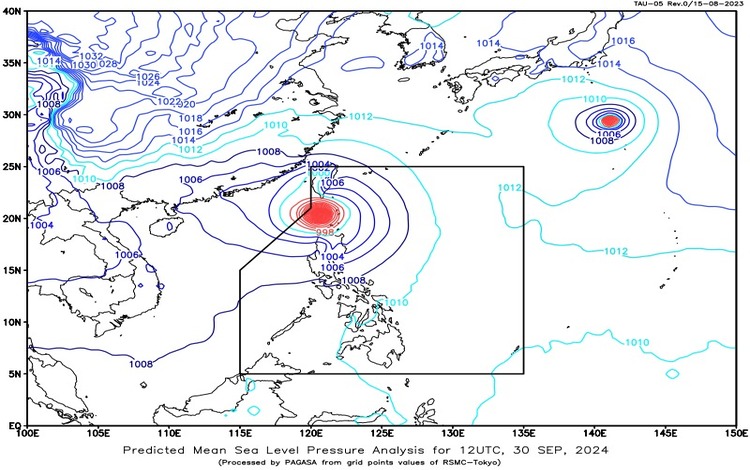
The center of Typhoon “Julian” (international name: Krathon) was located approximately 80 kilometers west of Basco, Batanes. The typhoon’s eye was detected at coordinates 20.5°N, 121.2°E. With maximum sustained winds of 175 km/h near the center and gusts reaching up to 215 km/h, Typhoon Julian continues to move in a west-northwestward direction at a speed of 15 km/h.
Forecast Weather Conditions
Affected Areas:
- Batanes, Cagayan including Babuyan Islands, Apayao, and Ilocos Norte
Residents in these areas can expect stormy weather due to Typhoon Julian’s presence. Torrential rains, heavy at times, may trigger flash floods and landslides. There is also a minor to moderate threat to lives and properties because of the strong winds associated with the storm. - The rest of the Ilocos Region, Cordillera Administrative Region (CAR), and Cagayan Valley
These regions will experience rains accompanied by gusty winds. The possibility of flash floods and landslides remains high due to moderate to heavy rains, while strong winds pose a minimal to minor threat to people and properties. - Metro Manila, Central Luzon, CALABARZON, and Occidental Mindoro
These areas will have cloudy skies with scattered rain showers and thunderstorms, primarily influenced by the trough of Typhoon Julian. Flash floods and landslides may occur during periods of moderate to heavy rainfall. - Rest of the Country
Other areas across the Philippines will experience partly cloudy to cloudy skies with isolated rain showers or thunderstorms caused by localized weather patterns. Severe thunderstorms could result in flash floods or landslides in some locations.
Wind and Coastal Water Conditions
- Northern Luzon: Winds will be strong, coming from the southwest to southeast, and coastal waters will be rough, with wave heights between 2.8 to 4.0 meters.
- Central Luzon and the eastern part of Southern Luzon: Winds will be moderate to strong from the southwest to south, with moderate to rough seas (wave heights from 2.1 to 3.0 meters).
- Rest of the country: Light to moderate winds from the southeast to southwest will prevail, and coastal waters will be slight to moderate, with wave heights ranging from 0.6 to 2.5 meters.