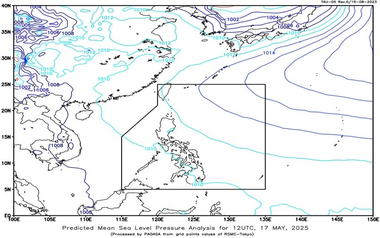
The Philippine Atmospheric, Geophysical and Astronomical Services Administration (PAGASA) issued its weather forecast for Saturday, May 17, 2025, highlighting the continued influence of the Intertropical Convergence Zone (ITCZ) over Mindanao, while the rest of the country is affected by warm easterlies.

According to the latest bulletin, Mindanao, Eastern Visayas, and Palawan will experience cloudy skies with scattered rain showers and thunderstorms brought about by the ITCZ. These conditions may lead to moderate to at times heavy rainfall, prompting warnings of possible flash floods and landslides, especially in low-lying and mountainous areas.
In contrast, Metro Manila and the rest of the country will generally see partly cloudy to cloudy skies with isolated rain showers or thunderstorms in the afternoon or evening. These weather disturbances are caused by easterlies—warm and humid winds originating from the Pacific Ocean. While rainfall is expected to be less intense, severe thunderstorms could still trigger localized flash floods or landslides.
Wind and coastal water conditions are expected to remain light to moderate across the archipelago. In Luzon and Visayas, winds will come from the east to southeast with slight to moderate sea conditions, ranging from 0.6 to 1.8 meters. Similarly, Mindanao will experience southeast to northeast winds with comparable sea conditions.
For the 24 hours ending at 4:00 PM today, temperatures ranged from a minimum of 26.0°C at 6:00 AM to a maximum of 33.6°C at 1:00 PM. Humidity levels were highest at 85% early in the morning and dropped to a low of 56% by early afternoon.
As of 6:00 PM today, PAGASA has also issued General Flood Advisories (GFAs) for several regions in Mindanao. These include Region 9 (Zamboanga Peninsula) and Region 10 (Northern Mindanao) under GFA #7, Region 11 (Davao Region) and BARMM under GFA #9, and Region 13 (CARAGA) under GFA #8.
