MANILA, Philippines — The Philippine Atmospheric, Geophysical and Astronomical Services Administration (PAGASA) released its afternoon weather forecast on Monday, August 4, 2025, highlighting the continued monitoring of a low-pressure area (LPA) outside the Philippine Area of Responsibility (PAR).
According to PAGASA, the LPA designated “08A” remains outside PAR and currently has a low chance of developing into a tropical depression within the next 24 hours. While not expected to affect the country immediately, the agency continues to keep a close watch on its movement and possible changes in intensity.
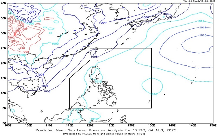
The Southwest Monsoon or Habagat is currently affecting Extreme Northern Luzon, particularly the provinces of Batanes and the Babuyan Islands. Residents in these areas can expect partly cloudy to cloudy skies with isolated rainshowers or thunderstorms throughout the day. Although these rainshowers may be brief, PAGASA warned of possible flash floods or landslides during periods of severe thunderstorms.
For Metro Manila and the rest of the country, similar weather conditions are expected. Skies will be partly cloudy to cloudy, with localized thunderstorms likely to develop in the afternoon or evening. These thunderstorms are typically sudden and intense, capable of producing heavy rainfall in short durations. PAGASA once again cautioned the public about the risks of flash floods and landslides, especially in low-lying and mountainous areas.
In terms of wind and sea conditions, the entire country will experience light to moderate winds blowing from the southeast to southwest, resulting in slightly to moderately choppy coastal waters with wave heights ranging between 0.6 and 2.5 meters. Seafarers and small boat operators are advised to remain vigilant, especially during thunderstorms.
PAGASA encourages the public to stay updated through official advisories and take precautionary measures during thunderstorms. Residents in flood-prone or landslide-prone areas are advised to remain alert and ready to evacuate if necessary.
The next detailed forecast update is expected later this evening. For real-time weather updates and alerts, follow PAGASA through their official website and social media channels.
Ask ChatGPT