The Philippine Atmospheric, Geophysical and Astronomical Services Administration (PAGASA) reported on Tuesday afternoon, September 9, 2025, that easterlies continue to affect large parts of the country, bringing scattered rains and thunderstorms over several regions.
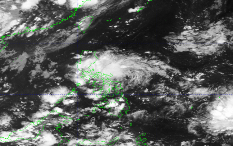
As of 2:00 PM, no Low Pressure Area (LPA) is being monitored, and no tropical cyclone formation is expected within the Philippine Area of Responsibility (PAR). Despite the absence of a weather disturbance, PAGASA warned of localized thunderstorms and rain showers that could still trigger flooding in some areas.
Forecast Weather Conditions
The Bicol Region, Rizal, Quezon, Aurora, Marinduque, and Northern Samar will experience cloudy skies with scattered rain showers and thunderstorms brought by the easterlies. PAGASA advised residents to remain alert for possible flash floods and landslides due to moderate to heavy rains.
Meanwhile, Metro Manila, Mindanao, the rest of Visayas, CALABARZON, and MIMAROPA can expect partly cloudy to cloudy skies with isolated rain showers or thunderstorms. Though generally fair, the state weather bureau cautioned that severe thunderstorms could still result in flooding or landslide incidents.
The rest of Luzon will have partly cloudy to cloudy skies with isolated thunderstorms caused by localized weather systems.
Wind and Coastal Water Conditions
Light to moderate winds coming from the northeast to east will prevail over the northern and eastern portions of Luzon, as well as the eastern section of Visayas. Coastal waters in these areas will be slight to moderate, ranging from 0.6 to 1.5 meters.
For the rest of Luzon, winds will be light to moderate, blowing from north to northeast, with slight to moderate seas between 0.6 and 1.2 meters.
General Flood Advisories
PAGASA also issued general flood advisories as of 6:00 PM:
- Region 4A (CALABARZON) – GFA #1
- Region 4B (MIMAROPA) – GFA #4 Final
- Region 5 (Bicol Region) – GFA #3
- Region 8 (Eastern Visayas) – GFA #4 Final