MANILA, Philippines – The Philippine Atmospheric, Geophysical and Astronomical Services Administration (PAGASA) is urging residents in the southern part of the country to exercise extreme vigilance today, November 14, 2025, as the Intertropical Convergence Zone (ITCZ) continues to be the dominant weather system, bringing widespread rain and significant risk of flooding.
The ITCZ, a notorious rain-maker and the convergence area of trade winds, is currently affecting Palawan, Visayas, and Mindanao. These regions are forecast to experience cloudy skies with scattered rain and thunderstorms. The main concern lies in the intensity of precipitation, which PAGASA warns may be moderate to at times heavy, leading to the possible occurrence of flash floods or landslides. Multiple regions across Visayas and Mindanao are under a General Flood Advisory, underscoring the severity of the threat, including CARAGA, Davao Region, SOCCSKSARGEN, Northern Mindanao, Eastern Visayas, Central Visayas, and Western Visayas.
💨 Luzon’s Dual Weather Systems
Meanwhile, the northern extremes of the archipelago are under the influence of the approaching season’s staple—the Northeast Monsoon. Batanes and Babuyan Islands can expect generally cooler weather with partly cloudy to cloudy skies and isolated light rains. Winds in this area will be a factor for mariners, described as Moderate to Strong from the Northeast, whipping up Moderate to Rough coastal waters reaching a height of 2.5 to 4.0 meters.
For Metro Manila and the rest of Luzon, the weather will be characterized by a mix of sunshine and sudden downpours. The forecast calls for partly cloudy to cloudy skies with isolated rainshowers or thunderstorms brought about by Localized Thunderstorms. While not as persistent as the ITCZ rains, these thunderstorms can be severe and may still trigger flash floods or landslides, particularly during the late afternoon or evening heating cycle.
🌡 Temperature and Sea Conditions
Temperatures across the country are expected to remain within a comfortable range for most areas, following yesterday’s extremes of a minimum of 25 °C early morning and a maximum of 31.6 °C in the afternoon. The air remains humid, with relative humidity peaking at 91%.
Navigators in the rest of Luzon should expect Slight to Moderate coastal waters (up to 2.1 meters), while those in the Visayas and Mindanao will see calm to moderate seas, ranging from 0.6 to 1.2 meters.
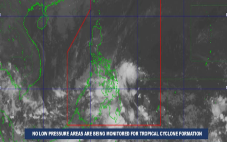
PAGASA assures the public that as of 2:00 AM today, no Low Pressure Areas (LPA) are being monitored for potential Tropical Cyclone formation. However, the existing General Flood Advisories mean that local government units and the public must maintain high vigilance and heed all warnings, especially in rain-affected, low-lying, and mountainous communities.