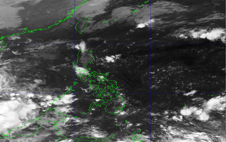
The national weather ecosystem is serving a complex operational climate landscape today, November 17, 2025, driven by multi-system atmospheric influencers that reinforce the Philippines’ longstanding rhythm of seasonal shifts. With the Intertropical Convergence Zone (ITCZ) currently impacting Palawan and Mindanao, the Northeast Monsoon reinforcing traditional cold-season patterns over Northern Luzon, and Easterlies energizing the rest of the country, stakeholders are encouraged to activate proactive risk management playbooks and maintain high visibility on evolving weather advisories.
Mindanao and Palawan are projected to operate under cloudy conditions with scattered rains and embedded thunderstorms attributed to the ITCZ. PAGASA has flagged potential flash floods and landslides, especially in historically vulnerable zones. The guidance: local governments and community leaders should align response protocols and ensure continuity of essential services amid weather-driven disruptions.
Up north, Cagayan and Isabela will experience scattered rains and isolated thunderstorms triggered by a shear line. Legacy risk indicators highlight the possibility of flash floods and landslides due to moderate to occasionally heavy rainfall. Residents in hazard-prone areas may consider readiness measures aligned with established disaster resilience frameworks.
Eastern Visayas, the Bicol Region, Aurora, and Quezon will also encounter cloudy skies with scattered rains and thunderstorms due to Easterlies, maintaining similar hazard potential. Cross-functional coordination among LGUs, responders, and barangay units is highly recommended to safeguard supply chains and mobility routes.
Meanwhile, the Ilocos Region, the Cordillera Administrative Region (CAR), and the remaining areas of Cagayan Valley are expected to experience partly cloudy to cloudy skies with isolated light rains courtesy of the Northeast Monsoon. No major operational impacts are expected in these zones, maintaining business-as-usual continuity.
Metro Manila and the rest of the country will observe partly cloudy to cloudy skies with isolated rain showers or thunderstorms. Flash floods or landslides may occur during severe localized storms, prompting a watchful approach, especially in dense urban corridors.
Wind and Coastal Conditions also align with maritime safety priorities:
- Northern and Western Luzon: Moderate to strong winds, moderate to rough seas (1.5–3.5 meters).
- Eastern Mindanao: Light to moderate winds, slight to moderate seas (0.6–2.1 meters).
- Rest of the Philippines: Light to moderate winds, slight to moderate seas (0.6–2.1 meters).
PAGASA likewise released updated General Flood Advisories across multiple regions, including finalized alerts for MIMAROPA, Central Visayas, Northern Mindanao, Davao Region, CARAGA, and BARMM, reinforcing community preparedness and continuity planning.
As temperatures ranged from 24.5°C (5:00 AM) to 31.9°C (2:00 PM) and humidity peaked at 94%, the nation continues its legacy of weather resilience—balancing innovation with long-standing climate wisdom that has always guided Filipino communities.