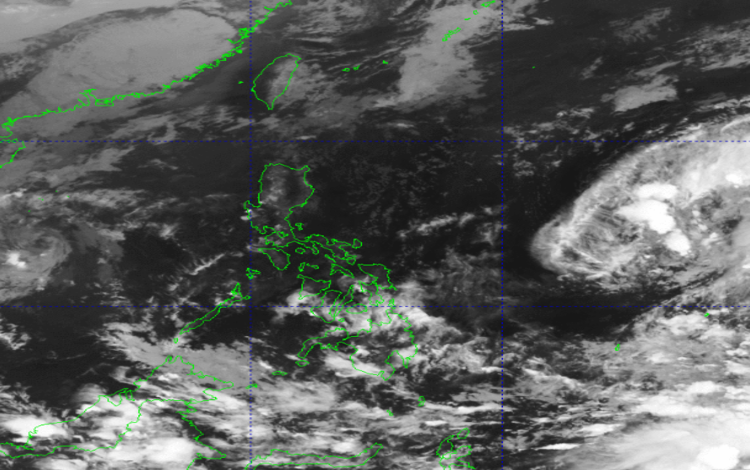
The afternoon weather forecast from the Philippine Atmospheric, Geophysical and Astronomical Services Administration (PAGASA) for Tuesday, December 2, 2025, highlights a multi-system scenario across the archipelago. The Intertropical Convergence Zone (ITCZ) remains the dominant weather driver in the south, while the Northeast Monsoon (Amihan) exerts its chilly influence over the far north, with an impending tropical development demanding close attention.
Dual Threat Monitors: Tropical Systems Outside PAR
While the country’s immediate weather is dictated by the ITCZ and Amihan, forecasters are keenly monitoring two systems just outside the Philippine Area of Responsibility (PAR).
As of 3:00 PM today, Tropical Depression Koto (2527), previously known as “Verbena,” was tracked 425 kilometers Northwest of Pag-asa Island, Kalayaan, Palawan. The system maintains maximum sustained winds of 45 km/h near the center and gusts up to 55 km/h. Its movement is described as a slow southeastward track. While currently outside PAR, its proximity requires continuous vigilance.
More critically, a Low Pressure Area (LPA 12a) is also being monitored outside PAR to the east, and PAGASA has assigned it a “HIGH” potential for developing into a Tropical Depression within the next 24 hours. The potential for a new tropical cyclone to enter the region brings elevated concern for the coming days, particularly for the eastern sections of the country.
Regional Outlook: Wet in the South, Cool in the North
Mindanao will experience the most significant impact from the ITCZ, the primary rain-bringing system for the day.
- Heavy Rainfall Warning: Zamboanga Peninsula, SOCCSKSARGEN, Davao Region, Basilan, and Tawi-Tawi are forecast to have cloudy skies with scattered rains and thunderstorms. The advisory warns of moderate to at times heavy rains, raising the possibility of flash floods or landslides.
- Widespread Showers: The rest of Mindanao will experience partly cloudy to cloudy skies with isolated rain showers, still due to the ITCZ. Residents should remain alert for potential flash floods or landslides, especially during severe thunderstorms.
In the extreme north, the cool, dry air of the Northeast Monsoon (Amihan) continues to affect the weather. Batanes and Cagayan are expecting cloudy skies with light rains, though PAGASA indicates no significant impact is expected from this system.
For Metro Manila and the rest of the country, the forecast is generally for partly cloudy to cloudy skies punctuated by isolated rain showers or thunderstorms. These localized events, common during the afternoon, carry the typical risk of flash floods or landslides during severe thunderstorms.
Coastal and Flood Advisories
Mariners in Northern Luzon should exercise caution, as wind speeds are moderate to strong, leading to coastal waters being Moderate to Rough (1.2 to 3.5 meters). For the rest of Luzon and the country, winds will be light to moderate, resulting in calmer, Slight to Moderate coastal waters (0.6 to 2.1 meters in the rest of Luzon; 0.6 to 1.8 meters in the rest of the country).
General Flood Advisories (GFA#3) remain in effect for several regions in Mindanao due to the persistent ITCZ-related rainfall. The following areas are advised to maintain vigilance against flooding: Davao Region (Region 11), SOCCSKSARGEN (Region 12), CARAGA (Region 13), and BARMM.