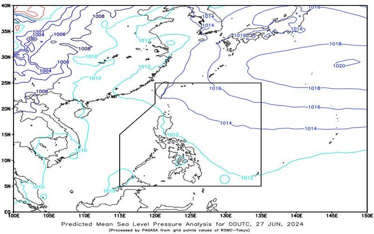
At 3:00 AM today, the Low-Pressure Area (LPA) was located approximately 45 km East Northeast of Dipolog City, Zamboanga del Norte (8.8°N, 123.7°E). This LPA is situated along the Intertropical Convergence Zone (ITCZ) which is currently affecting Southern Luzon, Visayas, and Mindanao. The Easterlies are influencing the rest of the country, bringing diverse weather conditions.
Forecast Weather Conditions
For areas including Dinagat Islands, Visayas, MIMAROPA, Bicol Region, Quezon, Laguna, and Rizal, residents can expect cloudy skies with scattered rain showers and thunderstorms. These weather conditions are primarily due to the influence of the LPA and ITCZ. Moderate to heavy rains could lead to possible flash floods or landslides, urging residents to stay vigilant.
Aurora and Quirino will also experience cloudy skies with scattered rain showers and thunderstorms, but these will be caused by the Easterlies. Similar to the aforementioned areas, these regions should be on alert for potential flash floods or landslides due to moderate to heavy rains.
Metro Manila, the rest of CALABARZON, and the rest of Mindanao will see partly cloudy to cloudy skies with isolated rain showers or thunderstorms due to the ITCZ. Although rains are less widespread, severe thunderstorms could still result in flash floods or landslides.
The remaining parts of the country will experience partly cloudy to cloudy skies with isolated rain showers or thunderstorms, influenced by the Easterlies. As with other regions, there is a risk of flash floods or landslides during severe thunderstorms.
Forecast Wind and Coastal Water Conditions
In Luzon and Visayas, the wind speed will be light to moderate, coming from the east to southeast. Coastal waters will range from slight to moderate with wave heights between 0.6 to 2.1 meters. Mindanao will experience similar wind speeds from south to southeast, with coastal waters also ranging from slight to moderate at 0.6 to 2.1 meters.
Tropical Cyclone Outlook
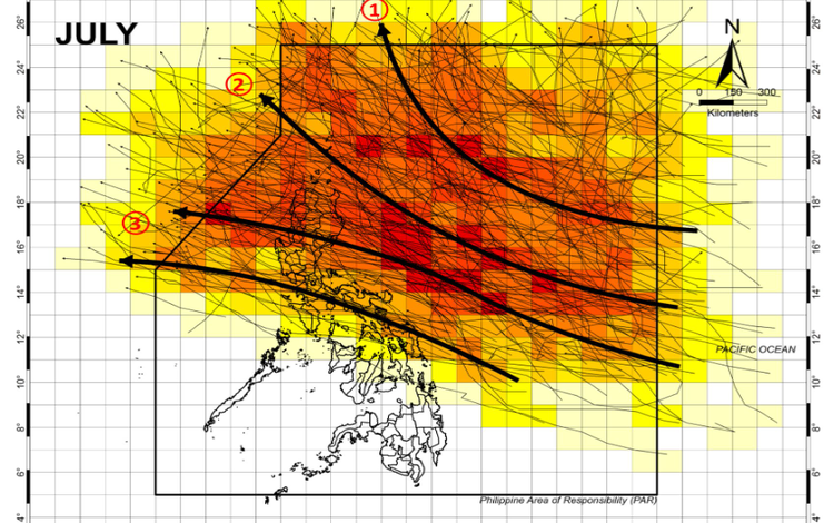
PAGASA announced on June 26 that two or three tropical cyclones might enter or form within the Philippines’ area of responsibility in July. This forecast underscores the necessity for preparedness as the Philippines frequently faces such weather phenomena.
Historical data from PAGASA, spanning from 1948 to 2023, indicates that July, August, and September typically see the highest number of tropical cyclones. The latter half of the year often experiences a higher frequency of cyclones making landfall, stressing the need for vigilance during this period.
For the remainder of 2024, PAGASA forecasts between 10 to 16 tropical cyclones, with two or three each month from July to October and one or two each in November and December. Continuous monitoring and readiness are essential to mitigate the impacts of these natural events. Residents are advised to stay informed through PAGASA updates and be prepared for potential adverse weather conditions.