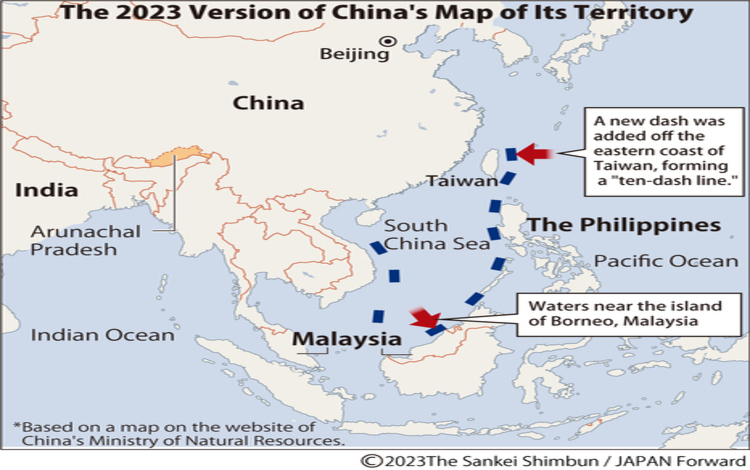
In a statement from the National Security Council (NSC) on Wednesday, September 13, the Philippines announced that it will release an updated map showcasing its maritime entitlement in the seas. This move directly corresponds to the current tension between the Philippines and China, which has displayed a 10-dash line on its map, asserting sovereignty over a vast portion of the South China Sea.
According to Jonathan Malaya, the spokesperson for the NSC, the said map is currently undergoing a review and approval process. It will adhere to the United Nations Convention on the Law of the Sea and the 2016 Arbitral Award. The Arbitral Award opposes China’s territorial claims in the South China Sea, including the Philippines’ Exclusive Economic Zone (EEZ) and the continental shelf claimed by Beijing.
One significant aspect of the new map is the depiction of the Philippine Rise award, which represents an expanded continental shelf in the eastern part of the country. According to Malaya, this will also be part of their presentation.
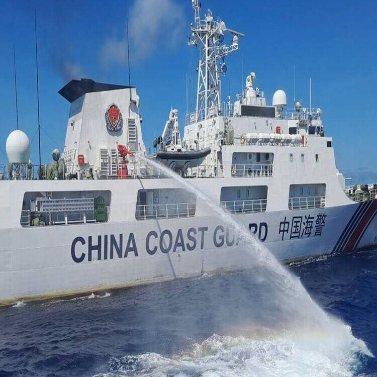
Tensions flared up between the Philippines and China in August when China released an updated standard map displaying the 10-dash line, which lays claim to the entire South China Sea. This prompted protests from the Philippines, vehemently opposing China’s claims in the said territory.
With the release of this new map, the Philippines hopes to establish a clear basis for its maritime entitlement and assert its sovereignty over its EEZ and continental shelf. This move is an integral part of their diplomacy in cooperating with other regional countries closely linked to the South China Sea issue.
The Philippines plans to communicate this map to various international agencies, making it a part of their official stance on maritime rights issues. They also hope that it will contribute to maintaining peace and security in the region.
The National Security Council says an updated Philippine map showing the country's maritime entitlements is underway to counter China's map showing its controversial 10-dash line.https://t.co/uQxCeJHsMt
— CNN Philippines (@cnnphilippines) September 13, 2023