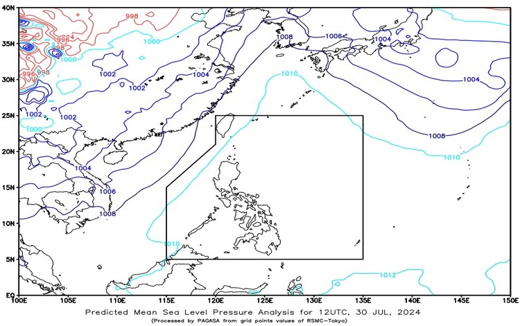
SYNOPSIS: The Southwest Monsoon is currently affecting the western sections of Northern and Central Luzon.
Forecast Weather Conditions:
Ilocos Norte and Ilocos Sur:
- Weather Condition: Cloudy skies with scattered rains and thunderstorms.
- Caused By: Southwest Monsoon.
- Impacts: Possible flash floods or landslides due to moderate to at times heavy rains.
Metro Manila, Cordillera Administrative Region, La Union, Pangasinan, Zambales, Bataan, Tarlac, Pampanga, and Bulacan:
- Weather Condition: Partly cloudy to cloudy skies with isolated rain showers or thunderstorms.
- Caused By: Southwest Monsoon.
- Impacts: Possible flash floods or landslides during severe thunderstorms.
The Rest of the Country:
- Weather Condition: Partly cloudy to cloudy skies with isolated rain showers or thunderstorms.
- Caused By: Localized Thunderstorms.
- Impacts: Possible flash floods or landslides during severe thunderstorms.
Forecast Wind and Coastal Water Conditions:
Luzon:
- Wind Speed: Light to Moderate.
- Wind Direction: Southwest.
- Coastal Waters: Slight to Moderate (0.6 to 2.1 meters).
Visayas and Mindanao:
- Wind Speed: Light to Moderate.
- Wind Direction: South to Southwest.
- Coastal Waters: Slight to Moderate (0.6 to 1.5 meters).
SYNOPSIS: The Southwest Monsoon is affecting the western sections of Northern and Central Luzon.
FORECAST: Visayas, Palawan including Kalayaan Islands, and Occidental Mindoro will have partly cloudy to cloudy skies with isolated rain showers and thunderstorms due to Localized Thunderstorms. Light to moderate winds from South to Southwest will prevail over the Visayas, Palawan including Kalayaan Islands, and Occidental Mindoro with slight to moderate seas.
The weather conditions across the Philippines are primarily influenced by the Southwest Monsoon, bringing varying levels of precipitation and potential hazards. Residents in Ilocos Norte and Ilocos Sur should remain vigilant for possible flash floods or landslides due to heavy rains. Meanwhile, areas including Metro Manila and several provinces in Central Luzon can expect isolated rain showers or thunderstorms, which may also lead to flash floods or landslides during severe occurrences.
For those in the Visayas, Palawan, and Mindanao regions, localized thunderstorms will bring occasional rain, with light to moderate winds ensuring relatively calm coastal conditions. Mariners are advised to take note of the slight to moderate sea conditions, which will range from 0.6 to 2.1 meters in Luzon and 0.6 to 1.5 meters in the Visayas and Mindanao.
Residents are encouraged to stay updated with the latest weather bulletins from PAGASA and take necessary precautions, especially in areas prone to flooding and landslides.