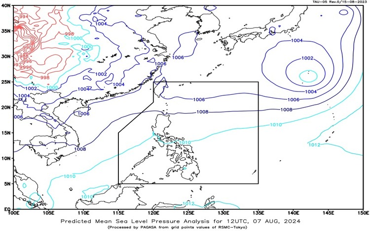
Synopsis: The Southwest Monsoon is currently affecting Northern and Central Luzon, bringing varying weather conditions to different parts of the country. As of 3:00 PM today, a Tropical Depression located 2,105 km east-northeast of Extreme Northern Luzon (25.8°N, 141.7°E) has maximum sustained winds of 55 km/h and gusts up to 70 km/h. It is moving eastward at a speed of 10 km/h but is not expected to enter the Philippine Area of Responsibility (PAR).
Forecast Weather Conditions:
- Zambales and Bataan: Expect cloudy skies with scattered rains and thunderstorms. This weather pattern is attributed to the Southwest Monsoon. Residents should be prepared for possible flash floods or landslides due to moderate to heavy rains.
- Ilocos Region, Cordillera Administrative Region, Cagayan Valley, and the rest of Central Luzon: Partly cloudy to cloudy skies with isolated rain showers or thunderstorms are anticipated. The Southwest Monsoon will influence these areas, with potential flash floods or landslides during severe thunderstorms.
- Metro Manila and the rest of the country: The forecast includes partly cloudy to cloudy skies with isolated rain showers or thunderstorms. Localized thunderstorms may lead to flash floods or landslides, particularly during intense weather conditions.
Forecast Wind and Coastal Water Conditions:
- The Whole Country: Light to moderate winds from the south to southwest are expected. Coastal waters will generally be slight to moderate, ranging from 0.6 to 2.1 meters.
Detailed Forecast:
- Visayas, Palawan (including Kalayaan Islands), and Occidental Mindoro: Partly cloudy to cloudy skies with isolated rain showers and thunderstorms are predicted. These conditions are caused by localized thunderstorms. Light to moderate winds from the south to southwest will prevail, with seas remaining slight to moderate.
Residents are advised to stay updated with the latest weather advisories from Pagasa and exercise caution, especially in areas prone to flooding and landslides. The tropical depression, while not directly affecting the PAR, is a reminder of the need to stay vigilant as weather conditions may change.