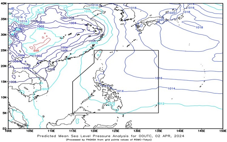
As dawn breaks on April 2, 2024, the weather forecast paints a varied picture across the Philippine archipelago. With a Ridge of High-Pressure Area (HPA) stretching across the eastern sections of Northern and Central Luzon, the atmospheric conditions are set for a blend of cloud cover and localized thunderstorms.
Metro Manila and Nationwide Outlook:
For Metro Manila and the rest of the country, anticipate partly cloudy to cloudy skies with isolated rain showers or thunderstorms. These localized thunderstorms could potentially lead to flash floods or landslides during severe episodes, necessitating caution and preparedness.
Wind and Coastal Conditions:
Across Luzon, expect light to moderate winds blowing from the east to southeast, while the rest of the country will experience winds from the east to northeast. Coastal waters are forecasted to be slight to moderate, with wave heights ranging from 0.6 to 2.1 meters.
Regional Forecasts:
In the Visayas, Palawan, including the Kalayaan Islands, and Occidental Mindoro, partly cloudy to cloudy skies are anticipated, accompanied by isolated rain showers and/or thunderstorms, courtesy of localized thunderstorms. Light to moderate winds from the east to northeast will prevail, with slight to moderate seas.
For the Bicol region, Northern Samar, Oriental Mindoro, Marinduque, and Romblon, similar conditions of partly cloudy to cloudy skies with isolated rain showers or thunderstorms are expected. Winds will be light to moderate, coming from the east to southeast, while seas will remain slight to moderate.
As we navigate through April 2, 2024, it’s crucial to stay weather-aware and prepared for sudden changes. Whether you’re in bustling Metro Manila, scenic Palawan, or any other region of the Philippines, keep an eye on the sky and heed any advisories from local authorities. By staying informed and proactive, we can ensure our safety and well-being in the face of dynamic weather patterns.