Issued at 05:00 AM, 15 February 2024
Valid until 05:00 AM tomorrow
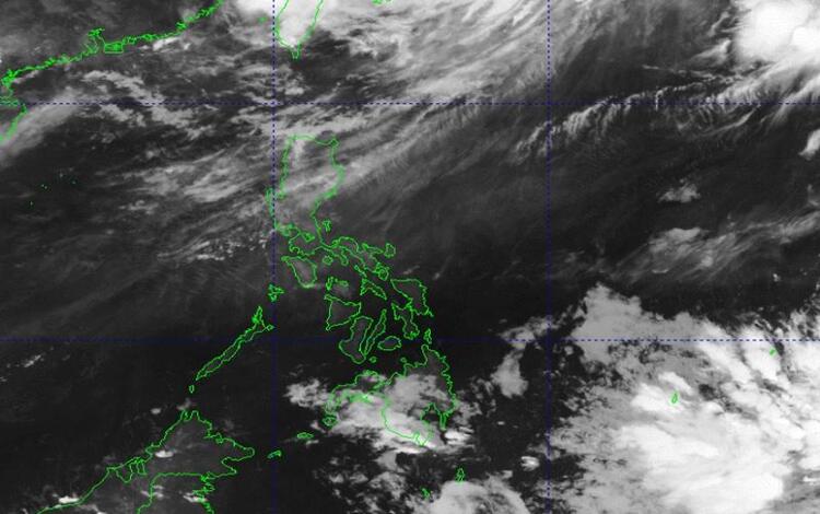
Synopsis:
Easterlies are influencing the eastern regions of Visayas and Mindanao, while the Northeast Monsoon is impacting Northern Luzon.
Partly Cloudy to Cloudy Skies with Isolated rainshowers or Thunderstorms: Expect partly cloudy to cloudy skies with isolated rain showers or thunderstorms over Bicol Region, Northern Samar, Oriental Mindoro, Marinduque, and Romblon. Moderate to strong winds blowing from east to northeast will prevail in these areas, accompanied by moderate to rough seas.
Tidal Information (Legazpi Port, Albay – courtesy of NAMRIA):
- High Tide Today: 09:21 AM … 1.49 meters
- Low Tide Today: 03:46 PM … 0.00 meter
- High Tide Tomorrow: 09:51 AM … 1.14 meters
- Low Tide Tomorrow: 03:32 AM … 0.24 meter
Forecast:
- Eastern Visayas: Cloudy skies with scattered rain showers and thunderstorms due to Easterlies.
- Rest of Visayas, Palawan (including Kalayaan Islands), and Occidental Mindoro: Partly cloudy to cloudy skies with rain showers and/or thunderstorms due to Easterlies and localized thunderstorms.
Wind and Sea Conditions:
- Eastern Visayas: Moderate to strong winds from the east-northeast with moderate to rough seas.
- Rest of Visayas, Palawan (including Kalayaan Islands), and Occidental Mindoro: Light to moderate winds from the Northeast with slight to moderate seas.

As always, stay updated with the latest weather advisories and take necessary precautions, especially if engaging in maritime activities.