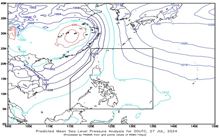
The Philippine Atmospheric, Geophysical, and Astronomical Services Administration (PAGASA) has released its weather forecast for July 27, 2024. At 3:00 AM today, a Low Pressure Area (LPA) was observed at approximately 1,035 km east of Southeastern Mindanao, positioned at 6.5°N latitude and 135.0°E longitude. The Southwest Monsoon is significantly affecting Luzon and Visayas.
Forecast Weather Conditions
Ilocos Region, Cordillera Administrative Region, Batanes, Babuyan Islands, Zambales, and Bataan
Residents of these areas should expect cloudy skies accompanied by scattered rains and thunderstorms. The Southwest Monsoon is the main cause of this weather pattern. There are potential risks of flash floods or landslides due to moderate to occasionally heavy rains.
Davao Oriental, Surigao del Norte, Surigao del Sur, Dinagat Islands, Leyte, Southern Leyte, and Eastern Samar
In these regions, cloudy skies with scattered rain showers and thunderstorms are anticipated due to the trough of the LPA. Similar to the aforementioned regions, there is a possibility of flash floods or landslides due to moderate to occasionally heavy rains.
Metro Manila, the rest of Visayas, and the rest of Luzon
These areas will experience partly cloudy to cloudy skies with isolated rain showers or thunderstorms brought by the Southwest Monsoon. During severe thunderstorms, there is a risk of flash floods or landslides.
The rest of Mindanao
The weather in the rest of Mindanao will range from partly cloudy to cloudy skies with isolated rain showers or thunderstorms caused by localized thunderstorms. As with other regions, severe thunderstorms may lead to flash floods or landslides.
Forecast Wind and Coastal Water Conditions
Northern and Western Sections of Luzon
- Wind Speed: Strong
- Wind Direction: Southwest to South
- Coastal Waters: Rough (2.8 to 4.0 meters)
Visayas and the Rest of Luzon
- Wind Speed: Moderate to Strong
- Wind Direction: Southwest to South
- Coastal Waters: Moderate to Rough (2.1 to 3.4 meters)
Mindanao
- Wind Speed: Light to Moderate
- Wind Direction: South to Southwest
- Coastal Waters: Slight to Moderate (1.2 to 2.5 meters)
Detailed Forecast
In addition to the regional forecast, PAGASA has provided more specific predictions:
- Eastern Visayas will experience cloudy skies with scattered rain showers and thunderstorms due to the trough of the LPA.
- The rest of Visayas, Palawan including Kalayaan Islands, and Occidental Mindoro will have partly cloudy to cloudy skies with isolated rain showers and thunderstorms due to the Southwest Monsoon.
- Light to moderate winds from the southwest to southeast will prevail over the Visayas, Palawan including Kalayaan Islands, and Occidental Mindoro with slight to moderate seas.
General Flood Advisories
PAGASA has issued several flood advisories effective at 6:00 AM on July 27, 2024:
- CAR (Cordillera Administrative Region): GFA#14 Final
- Region 1 (Ilocos Region): GFA#14
- Region 3 (Central Luzon): GFA#21 Final
Residents in the affected areas are advised to stay vigilant and follow the updates and advisories from PAGASA to ensure safety amidst potential weather disturbances. For more detailed and up-to-date information, refer to PAGASA’s official channels and weather bulletins.