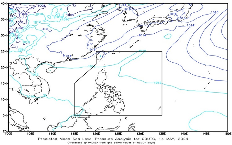
Today May 14, 2024, the weather outlook across the Philippines reflects the influence of easterly winds. Here’s what to expect in various regions:

Batanes and Cagayan: Residents of Batanes and Cagayan should brace themselves for cloudy skies punctuated with scattered rain showers and thunderstorms. These conditions are attributed to a frontal system, potentially leading to moderate to heavy rains. Consequently, there’s a looming risk of flash floods or landslides, urging caution among the populace.
Metro Manila and the Rest of the Country: For Metro Manila and other parts of the archipelago, the forecast paints a picture of partly cloudy to cloudy skies, occasionally interrupted by isolated rain showers or thunderstorms. These weather patterns are attributed to easterlies. Although not as intense as in the northern regions, severe thunderstorms could still trigger flash floods or landslides, prompting vigilance from residents.
Wind and Coastal Conditions: In Extreme Northern Luzon, moderate to strong winds blowing from the northeast direction are anticipated. Coastal waters are expected to be moderate to rough, with wave heights ranging from 1.2 to 2.8 meters. Conversely, the rest of the country can expect light to moderate winds from the east to northeast, with coastal waters ranging from slight to moderate, featuring wave heights between 0.6 to 2.1 meters.
Temperature and Humidity Extremes: In the past 24 hours until 8:00 PM yesterday, minimum temperatures were recorded at 26.7°C around 6:00 AM, while maximum temperatures peaked at 36.3°C by 2:00 PM. These fluctuations in temperature indicate the dynamic nature of Philippine weather. Relative humidity levels likely accompanied these temperature extremes, affecting overall comfort and perceptions of heat or coolness.
