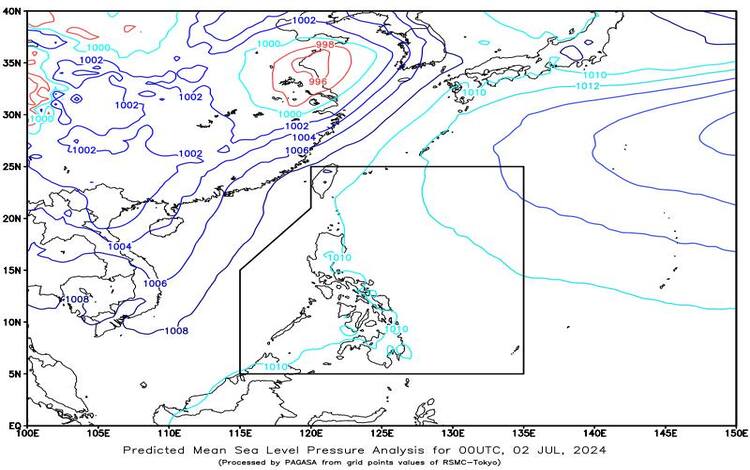
SYNOPSIS: The Intertropical Convergence Zone (ITCZ) is currently affecting Palawan and Southern Mindanao, while easterlies are influencing the eastern sections of Luzon and Visayas.
Forecast Weather Conditions
Zamboanga Peninsula and Palawan:
Expect cloudy skies with scattered rain showers and thunderstorms, primarily due to the ITCZ. Residents should be vigilant for possible flash floods or landslides, particularly during periods of moderate to heavy rainfall.
Aurora, Quezon, Bicol Region, and Eastern Visayas:
These areas will experience partly cloudy to cloudy skies with isolated rain showers or thunderstorms caused by easterlies. While rain may be sporadic, severe thunderstorms could lead to flash floods or landslides.
Metro Manila and the Rest of the Country:
Partly cloudy to cloudy skies with isolated rain showers or thunderstorms are anticipated, triggered by localized thunderstorms. Similar to other regions, severe thunderstorms could result in flash floods or landslides.
Forecast Wind and Coastal Water Conditions
Eastern Sections of Luzon and Visayas:
- Wind Speed: Light to Moderate
- Wind Direction: East to Southeast
- Coastal Waters: Slight to Moderate (0.6 to 2.1 meters)
Rest of the Country:
- Wind Speed: Light to Moderate
- Wind Direction: Southwest to Southeast
- Coastal Waters: Slight to Moderate (0.6 to 2.1 meters)
General Flood Advisories
Issued at 6:00 AM, 02 July 2024
Region 4A (CALABARZON):
Residents are advised to prepare for potential flooding in low-lying and riverine areas.
Region 6 (Western Visayas):
Communities should stay alert for sudden rises in river levels and possible landslides.
Region 9 (Zamboanga Peninsula):
Expect flood-prone areas to be at risk, particularly during heavy downpours.
Region 10 (Northern Mindanao):
Increased vigilance is recommended due to the potential for flash floods and landslides.
Region 11 (Davao Region):
Monitor weather updates and prepare for emergencies related to heavy rain.
Region 12 (Soccsksargen):
Flood-prone areas should be on high alert for rapid changes in weather conditions.
Region 13 (CARAGA):
Stay informed and ready for possible evacuations if river levels rise.
BARMM:
The risk of flooding and landslides remains high; take necessary precautions.