MANILA, Philippines — The Philippine Atmospheric, Geophysical and Astronomical Services Administration (PAGASA) issued its afternoon weather bulletin on Tuesday, May 27, 2025, warning the public of potential flash floods and landslides in several regions due to rain-inducing weather systems.
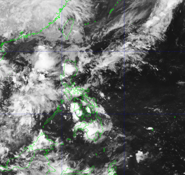
According to PAGASA, a frontal system continues to affect Extreme Northern Luzon, bringing cloudy skies with scattered rain showers and thunderstorms over Batanes and the Babuyan Islands. The agency warned residents in these areas to remain vigilant as moderate to at times heavy rains could trigger flash floods and landslides, particularly in low-lying and mountainous areas.
Meanwhile, the trough of a Low Pressure Area (LPA) is currently influencing weather conditions in the Zamboanga Peninsula, Basilan, Sulu, Tawi-Tawi, and Palawan. These areas are likewise experiencing cloudy skies with scattered rains and thunderstorms. PAGASA noted that similar hazards, such as localized flooding and landslides, may occur, especially during periods of intense rainfall.
For Metro Manila and the rest of the country, the weather will generally range from partly cloudy to cloudy skies with isolated rain showers or thunderstorms, mainly due to easterlies — warm and humid winds coming from the Pacific Ocean. While the conditions are expected to remain fair for most of the day, severe thunderstorms could still lead to brief but intense downpours, possibly resulting in flash floods in flood-prone areas.
In terms of wind and sea conditions, moderate winds from the northeast to east will prevail over Extreme Northern Luzon, with moderate coastal waters ranging between 1.5 to 2.5 meters. The rest of the country will experience light to moderate winds from the southeast to east, with slight to moderate seas between 0.6 to 1.5 meters, generally safe for small fishing vessels.
Temperature extremes recorded during the past 24 hours showed a maximum of 34.7°C at noon and a minimum of 26.4°C early morning. Relative humidity peaked at 80% around 5:00 AM and dropped to 50% at midday.
As of 4:00 PM, an LPA located outside the Philippine Area of Responsibility (PAR) is being closely monitored, but PAGASA stated that it remains unlikely to develop into a tropical depression within the next 24 hours.