Two weather systems are currently influencing the country’s weather, bringing rain to several regions, according to the Philippine Atmospheric, Geophysical and Astronomical Services Administration (PAGASA) in its Saturday afternoon weather forecast for April 5, 2025.
The Intertropical Convergence Zone (ITCZ) is affecting Mindanao, resulting in cloudy skies with scattered rain showers and thunderstorms across the region. PAGASA warns of possible flash floods or landslides in vulnerable areas due to moderate to at times heavy rainfall.
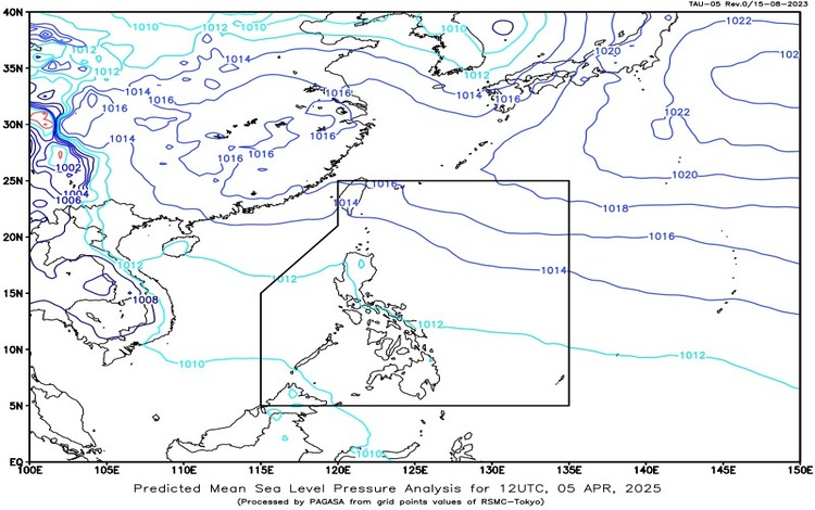
Meanwhile, easterlies, or warm winds from the Pacific Ocean, are influencing the weather over the rest of the country. Aurora and Quezon provinces will experience cloudy skies with scattered rains and thunderstorms, with similar risks of flash floods and landslides.
In Metro Manila and the rest of the Philippines, the weather will be partly cloudy to cloudy, with isolated rain showers or thunderstorms expected, also brought about by easterlies. Residents are advised to remain cautious during severe thunderstorms, which could also lead to localized flooding.
Wind and sea conditions remain generally manageable. In Northern Luzon, moderate winds blowing from southeast to northeast will prevail, with moderate coastal waters ranging from 1.5 to 2.5 meters. In other parts of the country, light to moderate winds from east to northeast are expected, with slight to moderate seas between 0.6 and 2.5 meters.
Temperature readings across the country will range from 25.0°C to 30.8°C, indicating warm conditions during the day, especially in areas with less cloud cover.
PAGASA reminds the public to regularly monitor updates and take precautionary measures, particularly in low-lying and mountainous areas prone to flooding and landslides. While no storm signals are in effect, sudden weather changes may occur, especially during the afternoon and evening hours.