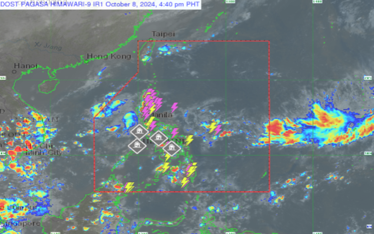
As of 3:00 PM today, the Philippine Atmospheric, Geophysical, and Astronomical Services Administration (Pagasa) reported a Low-Pressure Area (LPA) located 350 km west of Abucay, Bataan (14.8°N, 117.2°E). This LPA is affecting the weather in several parts of the country. Meanwhile, a tropical depression remains outside the Philippine Area of Responsibility (PAR), located 2,605 km east of extreme Northern Luzon (23.8°N, 147.0°E). The tropical depression is stationary, with maximum sustained winds of 55 km/h and gusts of up to 70 km/h. Despite its proximity, it is not expected to immediately affect the country’s weather.
Weather Conditions for Key Areas
La Union, Pangasinan, Tarlac, Zambales, and Bataan
These provinces are expected to experience cloudy skies with scattered rain showers and thunderstorms, primarily due to the effects of the LPA. Residents are advised to be cautious, as moderate to heavy rains may lead to possible flash floods or landslides.
Batanes and Babuyan Islands
In the northernmost islands of the Philippines, the weather will be partly cloudy to cloudy with isolated light rains, brought about by the northeasterly surface windflow. Fortunately, no significant weather impacts are expected in these areas.
Metro Manila and the Rest of the Country
The rest of the country, including Metro Manila, will have partly cloudy to cloudy skies with isolated rain showers or thunderstorms, caused by localized thunderstorms. While generally fair weather is expected, residents should still be mindful of possible flash floods or landslides during severe thunderstorms.
Wind and Coastal Water Conditions
Northern Luzon
Winds will be light to moderate, coming from the northeast, with coastal waters expected to be slight to moderate, with wave heights between 0.6 to 2.5 meters.
Eastern Sections of Central and Southern Luzon
Wind speeds will also be light to moderate, shifting from northeast to northwest. Coastal waters will have slight to moderate wave conditions, ranging from 0.6 to 2.5 meters.
Rest of the Country
In the remaining regions, winds will blow from the south to southwest, at light to moderate speeds. Coastal waters will also have slight to moderate conditions, with wave heights between 0.6 to 2.5 meters.