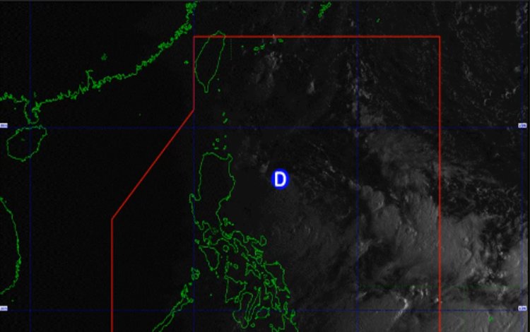
The Philippine Atmospheric, Geophysical and Astronomical Services Administration (PAGASA) has announced that a Low Pressure Area (LPA) east of Luzon has intensified into a tropical depression, now named “Gener.” This is the seventh tropical cyclone to hit the Philippines in 2024.
Gener officially became a tropical depression at 5 a.m. on Monday, September 16. PAGASA Weather Specialist Obet Badrina indicated that tropical cyclone wind signals may soon be raised over parts of Cagayan Valley, as Gener is expected to affect areas in Northern Luzon. Badrina also warned that the storm has the potential to move closer to land, bringing moderate to heavy rains.
“Moderate to heavy rainfall, ranging from 50 to 100 millimeters, is anticipated over the Ilocos Region, Cagayan Valley, the Cordillera Administrative Region (CAR), and parts of Aurora,” Badrina said, cautioning residents in these areas to remain alert for possible flooding and landslides.
As of 3 a.m. on Monday, the tropical depression was located approximately 385 kilometers east-northeast of Casiguran, Aurora, or 400 kilometers east of Tuguegarao City, Cagayan. The storm’s movement and strength will continue to be monitored closely, with PAGASA set to issue regular updates on Gener’s trajectory and potential impact.
PAGASA will begin issuing Tropical Cyclone Bulletins starting at 8 a.m. on September 16 to keep the public informed of Gener’s developments. Residents in the affected regions are advised to follow weather advisories and take precautionary measures.
Gener’s development follows a series of weather disturbances that have affected the Philippines this year, and PAGASA remains vigilant in monitoring the country’s weather patterns as the typhoon season continues. Communities in northern Luzon, particularly in low-lying and flood-prone areas, should prepare for possible evacuations and stay tuned to updates from local authorities.
The agency also reminded the public to heed warnings and advisories, especially concerning travel by sea and air, as rough seas and strong winds could impact these modes of transportation.