The Philippine Atmospheric, Geophysical and Astronomical Services Administration (PAGASA) released its official afternoon weather forecast for Saturday, June 14, 2025, highlighting the continued influence of the Intertropical Convergence Zone (ITCZ) over the southern parts of the country.
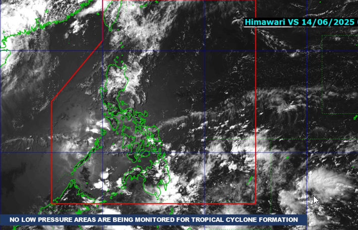
According to PAGASA, the ITCZ will bring cloudy skies with scattered rain showers and thunderstorms across Mindanao and Eastern Visayas. The agency warned residents in these areas to remain vigilant, as moderate to heavy rainfall may lead to flash floods or landslides, especially in low-lying and mountainous regions.
Meanwhile, the rest of the Philippines will generally experience partly cloudy to cloudy skies with isolated rain showers or thunderstorms, mostly in the late afternoon or evening, due to the effects of easterlies—warm winds coming from the Pacific Ocean. These isolated rains, while brief, may still pose localized flood threats.
In terms of wind conditions, moderate to strong winds are expected in Extreme Northern Luzon, with mild to rough coastal waters. PAGASA advised small fishing boats and other sea vessels in the area to take precautionary measures. The rest of the country will experience light to moderate winds and slight to moderate seas, making sea travel generally safer.
As of 6:00 p.m. today, PAGASA also issued General Flood Advisories (GFA#3) for the following regions:
- Region 10 (Northern Mindanao)
- Region 11 (Davao Region)
- Region 12 (SOCCSKSARGEN)
- BARMM (Bangsamoro Autonomous Region in Muslim Mindanao)
These advisories are a response to the continuing rains brought by the ITCZ and signal a heightened risk of flooding in vulnerable areas. Residents are urged to monitor local disaster management updates and be ready for possible evacuations.
For Sunday, sunrise in Metro Manila is expected at 5:27 a.m.
PAGASA continues to monitor weather developments closely and urges the public to stay updated through official bulletins, especially those residing in ITCZ-affected and flood-prone areas.