SYNOPSIS: The Southwest Monsoon continues to affect Southern Luzon, Visayas, and Mindanao, bringing significant rainfall to these regions. Meanwhile, the trough of Tropical Storm (TS) Bebinca is influencing the weather in the rest of Luzon.
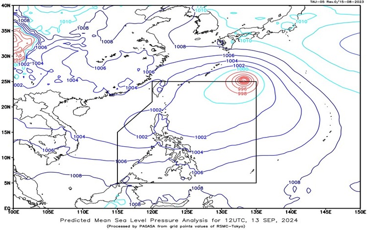
As of 3:00 PM today, Tropical Storm Bebinca, located 1,435 km east-northeast of Extreme Northern Luzon (at coordinates 23.7°N, 135.4°E), is moving northwestward at 35 km/h. The storm has maximum sustained winds of 85 km/h with gusts reaching up to 105 km/h. Although it remains outside the Philippine Area of Responsibility (PAR), its trough is causing weather disturbances across Luzon.
Forecast Weather Conditions
- MIMAROPA, Western Visayas, Sorsogon, Masbate, and Negros Occidental
Weather: Monsoon rains
Cause: Southwest Monsoon
Impacts: Heavy to intense rains may result in possible flash floods and landslides, particularly in low-lying and mountainous areas. - Rest of Negros Island and Bicol Region
Weather: Occasional rains
Cause: Southwest Monsoon
Impacts: Moderate to heavy rains may cause flash floods or landslides in susceptible areas. - Metro Manila, Mindanao, CALABARZON, and the rest of Visayas
Weather: Cloudy skies with scattered rain showers and thunderstorms
Cause: Southwest Monsoon
Impacts: Moderate to at times heavy rains may trigger flash floods or landslides. - Rest of Luzon
Weather: Cloudy skies with scattered rains and thunderstorms
Cause: Trough of Tropical Storm Bebinca
Impacts: Flash floods or landslides are possible due to moderate to heavy rains.
Wind and Coastal Water Conditions
- Southern Luzon, Visayas, and Mindanao
Wind Speed: Moderate to strong winds
Wind Direction: Southwest
Coastal Waters: Moderate to rough, with waves reaching 2.1 to 3.7 meters. - Rest of Luzon
Wind Speed: Light to moderate
Wind Direction: Northeast to northwest
Coastal Waters: Slight to moderate, with waves ranging from 0.6 to 2.5 meters.
Heavy Rainfall and Flood Warnings
Heavy Rainfall Warning No. 12 (Issued at 4:53 PM)
Areas affected: Cebu, Negros Oriental, Siquijor
Warning Level: Yellow
Impacts: Flooding is possible in low-lying areas, while landslides are a concern in mountainous regions.
Rainfall Advisory No. 11 (Issued at 5:00 PM)
Areas affected: Portions of Capiz (Ivisan, Roxas City, Panitan, Ma-Ayon, Panay, Pontevedra), Iloilo (Lemery, Banate, Ajuy), Negros Occidental (Sagay City, Escalante City, Toboso, Calatrava, San Carlos City)
Rain intensity: Light to moderate with occasional heavy rains (2.5-15 liters per meter² per hour) expected within the next 1-2 hours.
Heavy Rainfall Warning No. 9 (Issued at 5:00 PM)
Areas affected:
- Red Warning Level: Antique
Impacts: Serious flooding and landslides are expected in these areas. - Orange Warning Level: Guimaras, parts of Negros Occidental (Hinoba-An, Sipalay City, etc.), Iloilo, Capiz, Aklan
Impacts: Flooding is likely in low-lying areas, while landslides may occur in mountainous regions. - Yellow Warning Level: Negros Occidental (Victorias City, Manapla, Cadiz City), Iloilo (Barotac Nuevo, Passi City, etc.), Aklan (Kalibo, Batan), Capiz (Sapi-An, Dumalag)
Impacts: Flooding is possible in low-lying areas.
Residents in affected areas are urged to remain vigilant for potential flooding and landslides, especially in high-risk zones. Pagasa advises constant monitoring of further updates and warnings.