The Philippine Atmospheric, Geophysical and Astronomical Services Administration (PAGASA) released its official weather forecast for Tuesday, December 23, 2025, highlighting the continued influence of the Northeast Monsoon (Amihan) over Northern and Central Luzon, while Easterlies affect the rest of the country.
According to PAGASA, residents in the Bicol Region, Eastern Visayas, Quezon, Dinagat Islands, Surigao del Norte, and Surigao del Sur can expect cloudy skies with scattered rains and thunderstorms caused by Easterlies. These weather conditions may trigger flash floods or landslides, especially in low-lying and mountainous areas, due to moderate to occasionally heavy rainfall. Local disaster offices are advised to remain on alert, particularly during periods of heavy rain.
Meanwhile, Cagayan, Isabela, and Aurora will experience cloudy skies with rain as the Northeast Monsoon continues to affect these areas. PAGASA warned that the persistent rainfall may also result in possible flash floods or landslides, urging residents to take precautionary measures, especially near riverbanks and slopes.
For the Ilocos Region, Cordillera Administrative Region, the rest of Cagayan Valley, and the rest of Central Luzon, the weather is expected to be partly cloudy to cloudy with isolated light rains, also due to the Northeast Monsoon. PAGASA noted that no significant impact is anticipated in these areas, although cooler temperatures may be felt, particularly in higher elevations.
Metro Manila and the rest of the country will have partly cloudy to cloudy skies with isolated rainshowers or thunderstorms caused by Easterlies. While most areas will experience generally fair weather, PAGASA cautioned that severe thunderstorms could still lead to localized flooding or landslides.
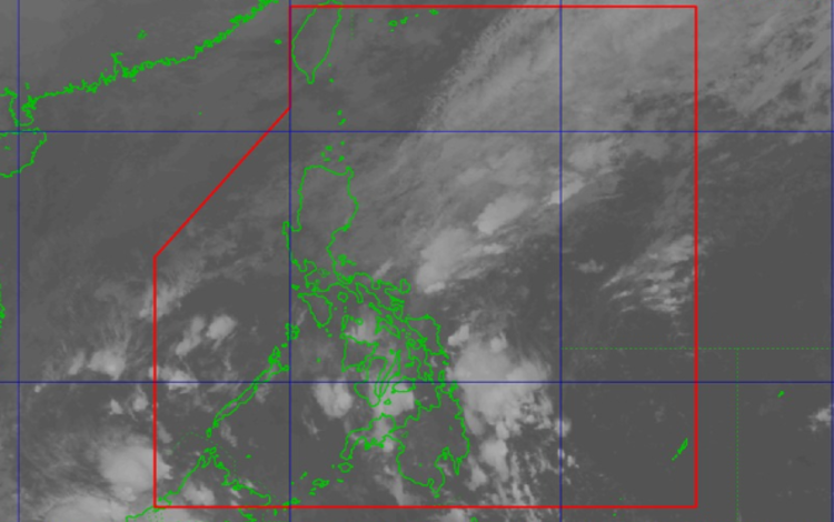
As of 2:00 AM on December 23, 2025, PAGASA confirmed that no Low Pressure Area (LPA) is being monitored for tropical cyclone formation.
In terms of marine conditions, Northern Luzon will experience strong northeast winds with rough coastal waters ranging from 2.8 to 4.0 meters, making sea travel risky for small vessels. Central Luzon and the eastern section of Southern Luzon will have moderate to strong winds and moderate to rough seas (2.1 to 3.4 meters). The rest of the country will see light to moderate winds with slight to moderate coastal waters.
For temperature and humidity extremes recorded over the past 24 hours, the minimum temperature was 23.8°C at 7:00 AM, while the maximum temperature reached 28.5°C at 5:00 PM. Relative humidity ranged from a low of 71% to a high of 91%, indicating generally humid conditions nationwide.