The Philippine Atmospheric, Geophysical, and Astronomical Services Administration (PAGASA) has issued a weather forecast for Monday, February 17, 2025, highlighting the influence of multiple weather systems nationwide.-
Weather Systems Affecting the Philippines:
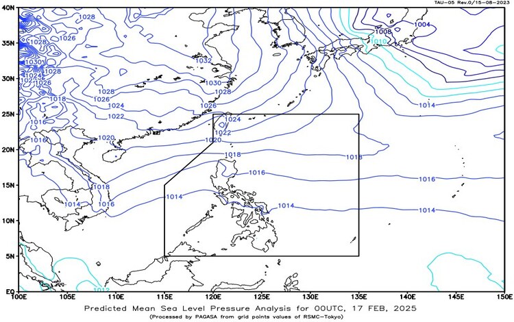
- Shear Line: This weather system is currently affecting the eastern section of Northern Luzon, bringing increased cloudiness and precipitation to the area.
- Intertropical Convergence Zone (ITCZ): The ITCZ is impacting Southern Mindanao, leading to cloud formation and potential thunderstorms.
- Northeast Monsoon (Amihan): This seasonal wind pattern is affecting extreme Northern Luzon, contributing to cooler temperatures and rain in the region.
Forecasted Weather Conditions:
- Batanes, Cagayan, and Apayao: Residents can expect cloudy skies accompanied by rains due to the Northeast Monsoon. These conditions may lead to possible flash floods or landslides, especially in areas prone to such hazards.
- Isabela and Aurora: The Shear Line is causing cloudy skies with scattered rains and isolated thunderstorms in these provinces. Moderate to heavy rainfall at times raises the risk of flash floods and landslides.
- Palawan, Basilan, Sulu, and Tawi-Tawi: The ITCZ is bringing cloudy skies with scattered rains and thunderstorms. Residents should remain vigilant for potential flash floods or landslides resulting from moderate to occasionally heavy rains.
- Metro Manila and the Rest of the Country: Generally, partly cloudy to cloudy skies with isolated rain showers or thunderstorms are expected, influenced by easterly winds. While these conditions are typically less severe, there is still a possibility of flash floods or landslides during intense thunderstorms.
Wind and Coastal Water Conditions:
- Northern Luzon: Moderate to strong winds from the northeast are anticipated, leading to moderate to rough coastal waters with wave heights ranging from 2.1 to 3.5 meters. Mariners and coastal communities should exercise caution.
- Rest of the Country: Light to moderate winds blowing from the east to northeast will prevail, resulting in slight to moderate sea conditions with wave heights between 0.6 to 2.5 meters.
Flood Advisories:
As of 6:00 AM on February 17, 2025, PAGASA has issued General Flood Advisories for several regions:
- Cordillera Administrative Region (CAR): Flood Advisory #9
- Region 2 (Cagayan Valley): Flood Advisory #10
- Region 3 (Central Luzon): Flood Advisory #20
- Region 11 (Davao Region): Flood Advisory #10
- Region 12 (SOCCSKSARGEN): Flood Advisory #3
Residents in these areas are advised to stay alert for possible flooding and to follow any instructions from local authorities.
As of 2:00 AM today, there are no Low-Pressure Areas (LPAs) being monitored for potential tropical cyclone development.
For localized weather updates and more detailed information, individuals are encouraged to monitor official PAGASA bulletins and heed the advice of local disaster risk reduction and management offices.