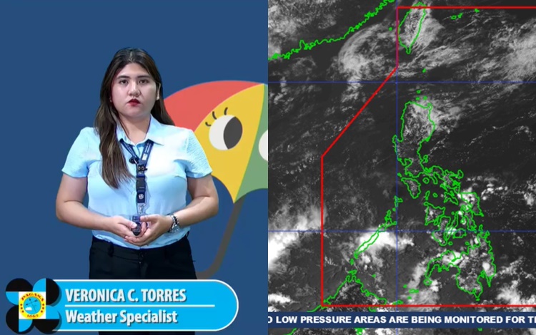
The Philippine Atmospheric, Geophysical and Astronomical Services Administration (PAGASA) has released its weather forecast for Monday, April 7, 2025, highlighting the continuing influence of two key weather systems: the Intertropical Convergence Zone (ITCZ) over southern Mindanao and easterlies affecting the rest of the country.
According to PAGASA, the ITCZ is currently bringing cloudy skies with scattered rain showers and thunderstorms over the Bangsamoro Autonomous Region in Muslim Mindanao (BARMM), Zamboanga Peninsula, SOCCSKSARGEN, Lanao del Norte, Misamis Occidental, and Palawan. These areas should prepare for possible flash floods and landslides, particularly in low-lying or mountainous regions, as moderate to at times heavy rains are expected throughout the day.
Meanwhile, Metro Manila and the rest of the country can expect partly cloudy to cloudy skies with isolated rain showers or localized thunderstorms. These weather conditions are due to the easterlies — warm, moist winds coming from the Pacific Ocean. While rains in these areas are expected to be less frequent, PAGASA warns that severe thunderstorms may still result in flash floods or landslides, especially in vulnerable areas.
Wind conditions across the country remain light to moderate, blowing from the east to northeast. Coastal waters will be slight to moderate, with wave heights ranging from 0.6 to 2.5 meters, making it generally safe for maritime activities, though caution is still advised for small seacraft during thunderstorms.
Temperature readings in the past 24 hours show a minimum of 24.5°C recorded at 6:50 AM and a maximum of 34.3°C logged at 2:00 PM. Relative humidity ranged from a high of 89% at 5:00 AM to a low of 46% at noon.
P