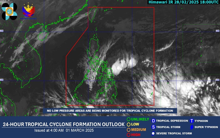
Shear Line and Northeast Monsoon Influence Philippine Weather
The Philippine Atmospheric, Geophysical, and Astronomical Services Administration (PAGASA) has issued its weather forecast for March 1, 2025, highlighting the effects of the Shear Line and the Northeast Monsoon on various regions.
Weather Systems Affecting the Philippines
- Shear Line: This meteorological phenomenon is currently influencing the eastern sections of Visayas and Mindanao, bringing increased cloudiness and precipitation to these areas.
- Northeast Monsoon (Amihan): Prevailing over Luzon, the Northeast Monsoon is responsible for the region’s cooler temperatures and light rains.
Regional Weather Conditions
- Eastern Visayas, Caraga, and Davao Region: Residents in these areas can expect cloudy skies accompanied by scattered rains and isolated thunderstorms due to the Shear Line. PAGASA warns of potential flash floods or landslides, especially in low-lying and mountainous regions, as moderate to occasionally heavy rains are anticipated.
- Cagayan Valley, Aurora, and Quezon: These regions will experience cloudy skies with light rains attributed to the Northeast Monsoon. The expected precipitation is not anticipated to cause significant impacts.
- Metro Manila and the Rest of Luzon: Partly cloudy to cloudy skies with isolated light rains are forecasted, also due to the influence of the Northeast Monsoon. No significant weather-related disruptions are expected in these areas.
- The Rest of the Country: Areas not previously mentioned will have partly cloudy to cloudy skies with isolated rain showers or thunderstorms caused by localized thunderstorms. While most of these events will be brief, there is a possibility of severe thunderstorms leading to flash floods or landslides. Residents are advised to remain vigilant and take necessary precautions.
Forecast Wind and Coastal Water Conditions
- Eastern Sections of Visayas and Mindanao: Moderate to strong winds blowing from the northeast to east are expected, resulting in moderate to rough coastal waters with wave heights ranging from 1.5 to 2.8 meters. Mariners and coastal communities should exercise caution due to these conditions.
- Rest of the Country: Light to moderate winds coming from the east to northeast will prevail, leading to slight to moderate sea conditions with wave heights between 0.6 to 2.5 meters. These conditions are generally safe for most marine activities, but small sea vessels are advised to remain cautious.
General Advisory
PAGASA advises the public to stay updated with the latest weather bulletins and advisories, especially those in areas affected by the Shear Line and localized thunderstorms. Flash floods and landslides remain a concern in regions expecting moderate to heavy rainfall. Residents are encouraged to monitor local news and heed instructions from local disaster risk reduction and management offices.
For more detailed information and updates, visit the official PAGASA website or follow their social media channels.