PAGASA rolled out its latest situational update for November 15, 2025, laying down a weather landscape that calls for both agility and grounded preparedness. With the Intertropical Convergence Zone (ITCZ) driving today’s operational climate across several regions, stakeholders nationwide are encouraged to calibrate plans and stay aligned with evolving advisories.
According to PAGASA’s early-morning bulletin, the ITCZ remains the primary weather driver influencing Palawan, the Visayas, and Mindanao. These areas can expect cloudy skies paired with scattered rains and localized thunderstorms, a combo that’s pretty standard for this setup but still demands attention. The rainfall intensity—moderate to occasionally heavy—creates potential risk vectors such as flash floods and landslides, especially in hazard-prone zones. Communities and LGUs in these regions are encouraged to maintain a proactive posture and ensure response protocols are market-ready.
Southern Luzon is also in the mix, with MIMAROPA, the Bicol Region, and Quezon experiencing the same ITCZ-induced conditions. Residents should double down on situational awareness, especially with afternoon thunderstorms trending more erratically during this season.
Up north, the mood shifts. The Cordillera Administrative Region, Cagayan Valley, and Aurora are under the influence of the Northeast Monsoon, bringing cloudy skies with light rains. While the monsoon doesn’t pose significant operational impacts at the moment, it still sets the tone for cooler, breezier conditions—classic amihan vibes that align with long-standing seasonal patterns.
Meanwhile, the Ilocos Region can expect partly cloudy to cloudy skies with isolated light rains, also courtesy of the Northeast Monsoon. PAGASA clarified that no major weather disruptions are projected here.
For Metro Manila and the rest of Luzon, the forecast remains dynamic with partly cloudy to cloudy skies and isolated rain showers or thunderstorms triggered by localized convective activity. While generally manageable, severe thunderstorms could still spark sudden flash floods or landslides, prompting the public to stay operationally ready.
On the marine front, Northern Luzon continues to face moderate to strong northeasterly winds, resulting in moderate to rough seas. Small vessels are advised to exercise caution. Elsewhere, Luzon, the Visayas, and Mindanao will see light to moderate winds and slight to moderate seas, maintaining relatively stable navigation conditions.
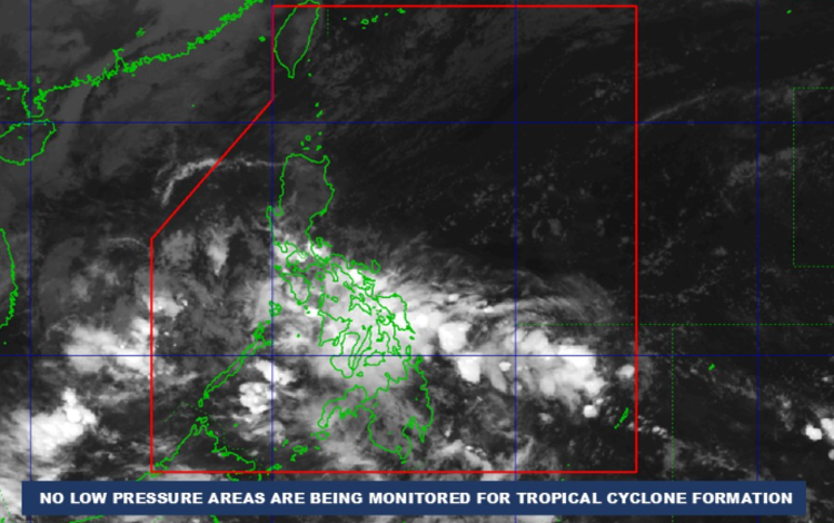
As of 2:00 AM, no Low Pressure Areas are being monitored for potential cyclone development—welcome news for now. Still, PAGASA underscores the importance of staying synced with their updates, especially as the ITCZ continues to shape the regional climate playbook.