The Philippine Atmospheric, Geophysical, and Astronomical Services Administration (Pagasa) has issued its weather forecast for today, October 11, 2024, highlighting the effects of the Northeasterly Windflow on Northern Luzon.
Weather Synopsis:
The Northeasterly Windflow is currently affecting Northern Luzon, bringing with it cloudy skies and rain in various regions. Additionally, localized thunderstorms are expected to affect other parts of the country.
Forecast Weather Conditions:
- Cordillera Administrative Region, Cagayan Valley, and Aurora: These areas will experience cloudy skies with rain, primarily due to the Northeasterly Windflow. Residents are advised to prepare for potential hazards as flash floods and landslides may occur, especially in areas prone to these events, due to moderate to occasionally heavy rains.
- Metro Manila and the Rest of the Country: Metro Manila and the other regions across the Philippines can expect partly cloudy to cloudy skies with isolated rain showers or thunderstorms. These weather patterns are attributed to localized thunderstorms, which could also bring about possible flash floods or landslides in the event of severe thunderstorms.
Wind and Coastal Water Conditions:
- Eastern Visayas: The eastern section of Visayas will experience light to moderate winds blowing from the northeast to northwest. Coastal waters will remain slight to moderate, with waves ranging from 0.6 to 2.5 meters in height.
- Luzon and the Rest of Visayas: For Luzon and the remaining areas, light to moderate winds will prevail, coming from the northeast to the east. Coastal waters are expected to be slightly moderate, with waves between 0.6 to 2.5 meters.
- Mindanao: The southern region of the country will experience light to moderate winds blowing from the south to southeast. Coastal waters in this area will range from slight to moderate, with waves measuring from 0.6 to 2.1 meters.
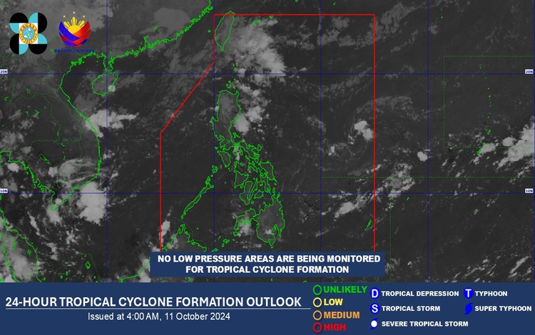
No Tropical Cyclones:
As of 4:00 AM today, no low-pressure areas are being monitored for potential tropical cyclone formation.
Overall, residents are advised to stay updated on weather advisories, especially in areas vulnerable to flash floods and landslides. The Northeasterly Windflow is expected to continue influencing Northern Luzon’s weather conditions, while localized thunderstorms may affect other parts of the country.