As of March 7, 2025, the Philippine Atmospheric, Geophysical, and Astronomical Services Administration (PAGASA) has issued a comprehensive weather forecast indicating the influence of multiple weather systems across the country. These systems include the Shear Line, the Northeast Monsoon (Amihan), and the Easterlies, each affecting different regions and contributing to varied weather conditions nationwide.
Weather Systems Affecting the Philippines
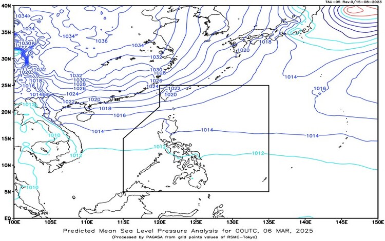
- Shear Line: This meteorological phenomenon, resulting from the convergence of the Northeast Monsoon and the Easterlies, is currently affecting the eastern section of Northern Luzon. It brings increased cloudiness and precipitation to the affected areas.
- Northeast Monsoon (Amihan): Typically characterized by cool and dry air masses originating from the northeast, the Amihan is presently influencing Extreme Northern Luzon, leading to cooler temperatures and specific weather patterns in these regions.
- Easterlies: Warm and humid winds coming from the Pacific Ocean, known as the Easterlies, are impacting the rest of the country, contributing to warmer temperatures and potential thunderstorms.
Forecasted Weather Conditions
- Mainland Cagayan, Apayao, Kalinga, Isabela, and Aurora: These areas can expect cloudy skies accompanied by scattered rains and isolated thunderstorms due to the Shear Line. Residents are advised to remain vigilant for possible flash floods or landslides resulting from moderate to occasionally heavy rainfall.
- Caraga, Southern Leyte, and Davao Oriental: The influence of the Easterlies will bring cloudy skies with scattered rains and thunderstorms to these regions. Similar to Northern Luzon, there is a risk of flash floods or landslides in areas susceptible to heavy rainfall.
- Batanes and Babuyan Islands: The Northeast Monsoon is expected to cause cloudy skies with rains in these islands. Residents should be cautious of potential flash floods or landslides due to moderate to at times heavy rains.
- Ilocos Norte: This province will experience partly cloudy to cloudy skies with isolated light rains, also due to the Northeast Monsoon. No significant impact is anticipated in this area.
- Metro Manila and the rest of the country: Generally, these areas will have partly cloudy to cloudy skies with isolated rain showers or thunderstorms caused by the Easterlies. While severe thunderstorms may lead to flash floods or landslides, no widespread significant impacts are expected.
Forecasted Wind and Coastal Water Conditions
- Northern Luzon: Strong winds from the northeast are expected, resulting in rough coastal waters with wave heights ranging from 2.6 to 4.5 meters. Mariners and small sea vessels are advised to exercise caution.
- Central Luzon: Moderate to strong winds blowing from the northeast will lead to moderate to rough seas, with wave heights between 1.5 to 2.8 meters.
- The rest of the country: Light to moderate winds from the east to northeast are anticipated, causing slight to moderate coastal waters with wave heights ranging from 0.6 to 2.5 meters.
General Flood Advisories
PAGASA has issued flood advisories for several regions:
- Region 2 (Cagayan Valley): A moderate general flood advisory is in effect, with rivers and tributaries such as Linao, Lower Abulug, Lower Pamplona, Cabicungan, Aunugay, Baua, Palawig, and Taboan likely to be affected. Residents near these waterways should take necessary precautions.
- Region 9 (Zamboanga Peninsula): The final flood advisory indicates that watercourses in this region are no longer under significant threat.
- Region 13 (CARAGA): A general flood advisory has been issued, with rivers and tributaries, including those in Surigao del Norte and Surigao del Sur, expected to experience increased water levels.
- Bangsamoro Autonomous Region in Muslim Mindanao (BARMM): The sixth flood advisory for this region highlights the potential for flooding in various watercourses. Residents are advised to remain alert and take necessary precautions.
Heat Index Advisory
PAGASA has also forecasted that five areas in Luzon could reach the “danger level” of the heat index on March 7, 2025, with expected values reaching 42°C. This level of heat index poses health risks such as heat cramps and heat exhaustion, and with prolonged exposure, heat stroke becomes possible. Residents in these areas are advised to stay hydrated, avoid strenuous activities during peak heat hours, and seek cooler environments when possible.
Recommendations for the Public
Given the diverse weather conditions across the Philippines, PAGASA advises the public to:
- Stay updated with the latest weather bulletins and advisories issued by PAGASA.
- Exercise caution in areas identified as high risk for flooding or landslides, especially during periods of heavy rainfall.
- Follow local authorities’ instructions regarding evacuation or safety measures.
- For coastal communities, heed warnings related to sea conditions, particularly in areas expecting rough to very rough seas.
- In regions experiencing high heat indices, take preventive measures to avoid heat-related illnesses, such as staying hydrated and limiting outdoor activities during peak heat periods.
For more detailed information and updates, individuals are encouraged to visit PAGASA’s official website or contact local PAGASA stations.
By staying informed and prepared, the public can mitigate risks associated with the current weather conditions and ensure safety during this period.